|
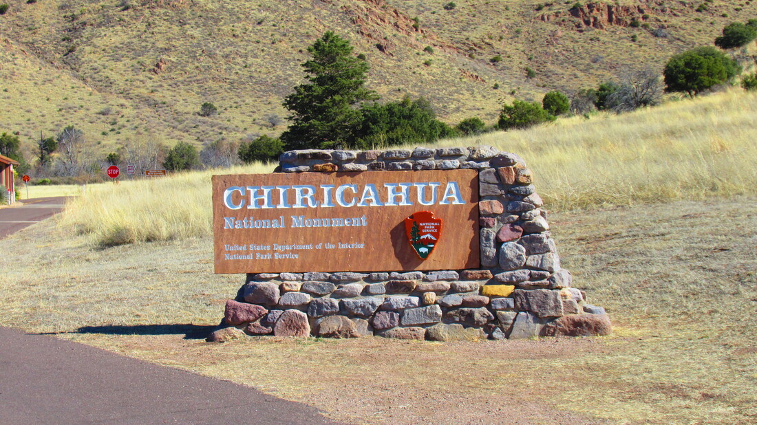
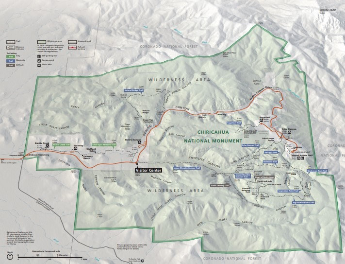
We made two overnight stops before stopping in Wilcox, Arizona. We will be here two nights. Southeast of Wilcox is the Chiricahua National Monument where we want to take a scenic drive and hike. The mountains in the park were formed by both volcanic and tectonic plate movement.
We would like to camp at Chiricahua but the longest RV's can be to camp there is 20 feet.
The drive down takes us closer to the border but only a little bit and not near the common crossing points. BTW, if you are reading this years from today this was a time when the US administration had allowed huge numbers of people to come over the border illegally than at anytime in history combined. Anywhere near the border is not safe.
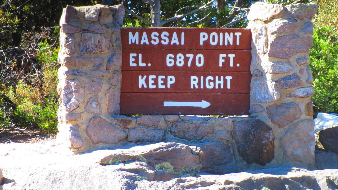
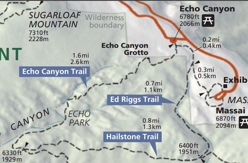
The drive takes a winding path up the mountains to Massai Point. We gain a lot of elevation and unlike at the start of our drive, the top still has snow and ice. At 6,870 feet it is the high point in the park.
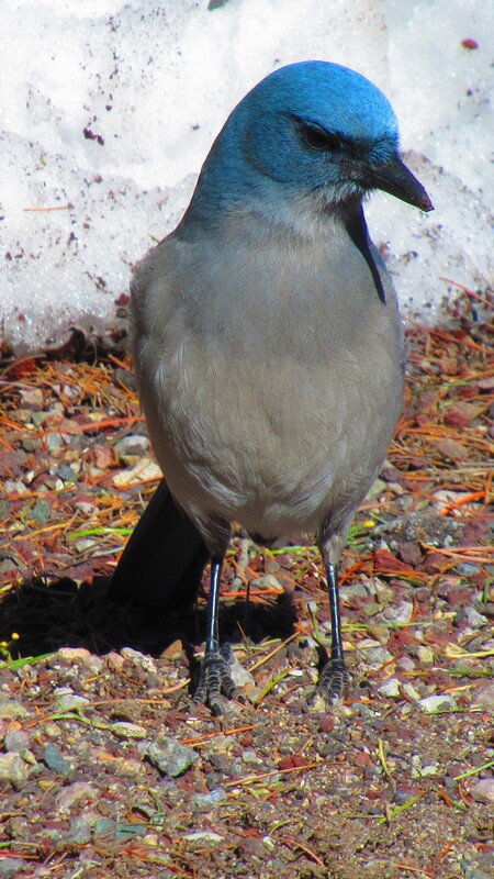
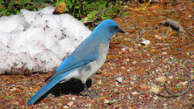
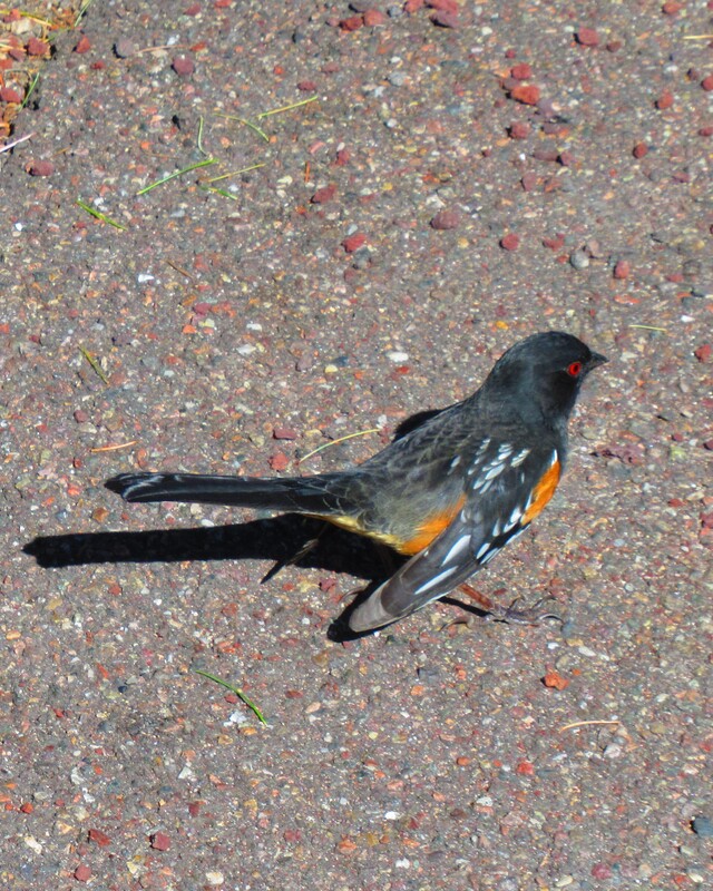
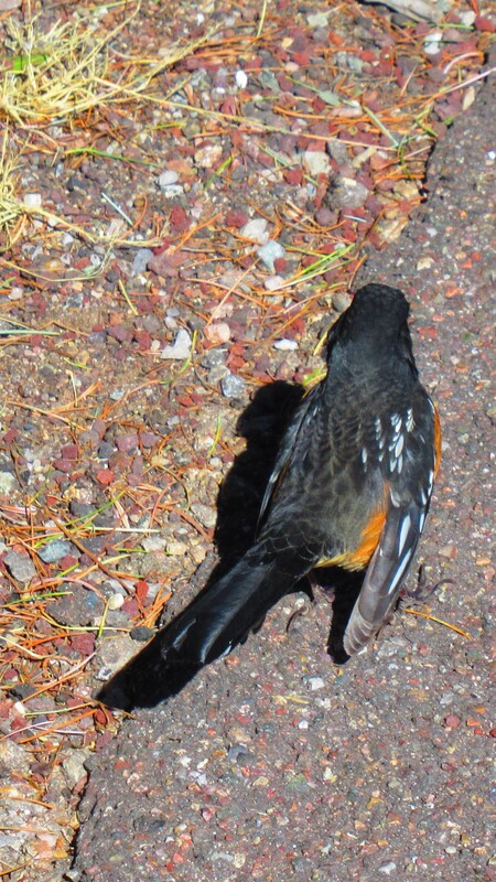
At the top were great views and some very determined birds I can best describe as big Blue Jays. They were not happy that we were not feeding them. There were birds that looked like a robin but with very red eyes.
The views from the parking lot and the observation building were fantastic. Snow and Ice were everywhere. It made the views even more interesting. Shawna fell when she stepped on ice that was dark and looked more like a rock than anything else. After some checking, we determined that she was okay and still wanted to try the hike. Note to self, don't walk while taking pictures. Watch where you are stepping, stop and then take the picture.
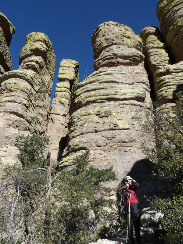
Todays hike will take us on three trails that meander through Hoodoos. Echo Canyon, Hailstone ridge, Ed Riggs trails combine to make an over 3 miles and an elevation change of over 800 feet.
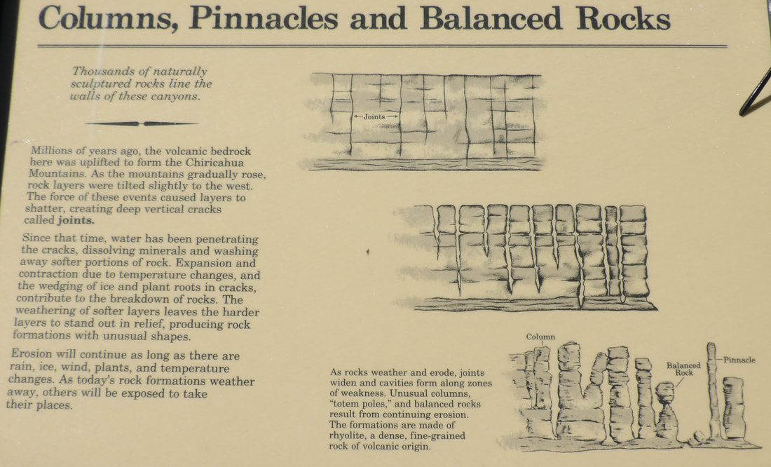
The Hoodoos and other features are formed by erosion of softer rock that once surrounded the harder rock that now stands.
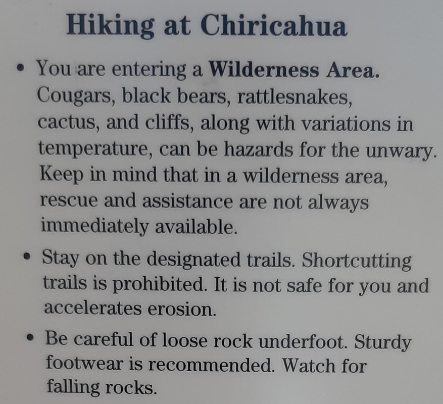
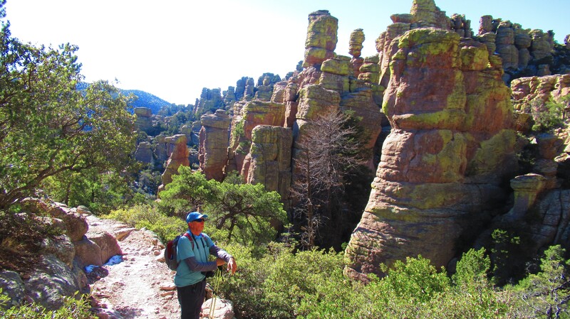
We drove just a short way down to the next parking area to start our hike. There will be plenty hoodoos and balanced rocks on the hike. We also get some pretty strong warnings.
This is not a regular hike. The warnings are pretty clear. Snow and ice will be on the trail. Falling rocks are common. Even a small rock here could be the size of a bowling ball and weigh at least that much a large one … never mind.
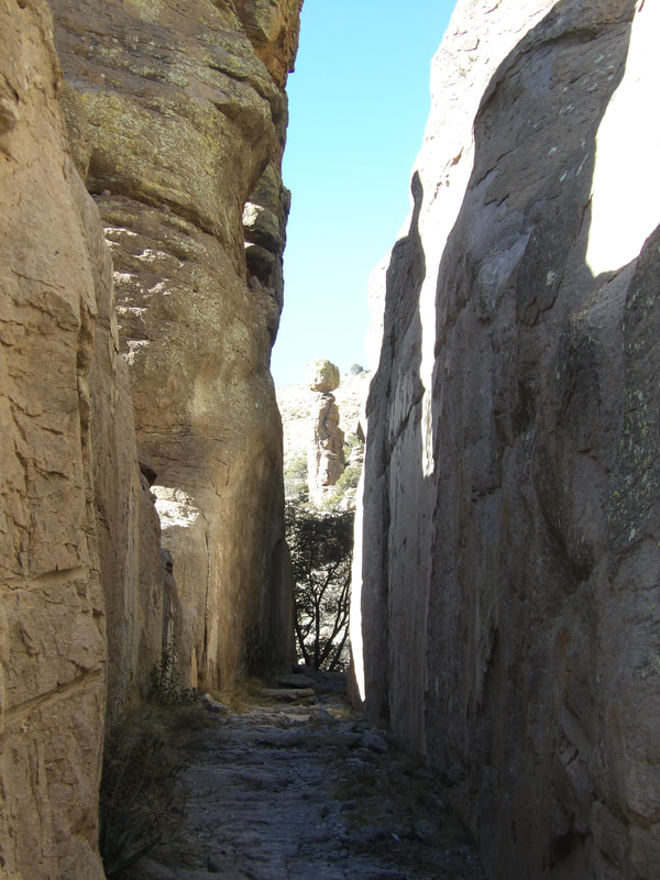
The trail passes directly under several balanced rocks.
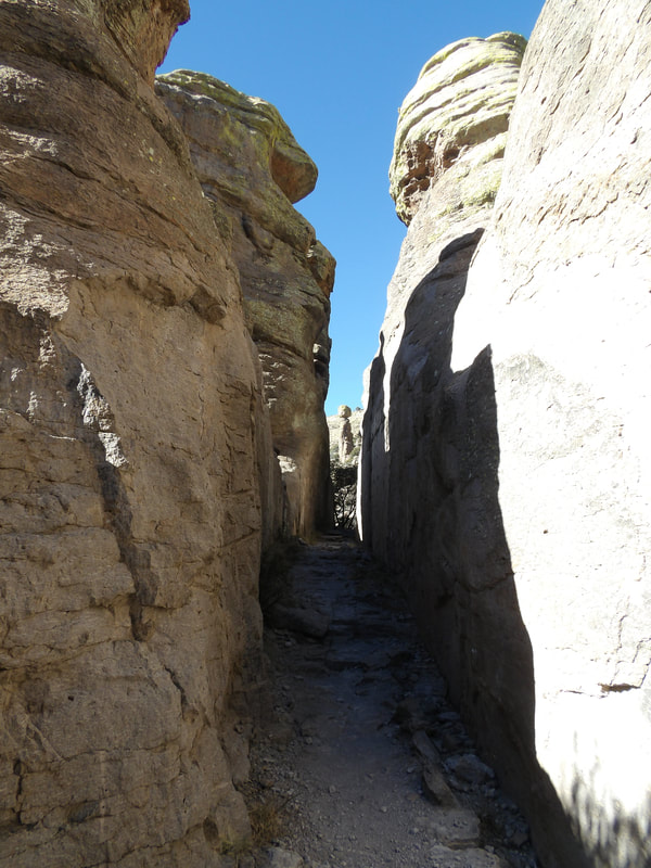
A few tight passages.
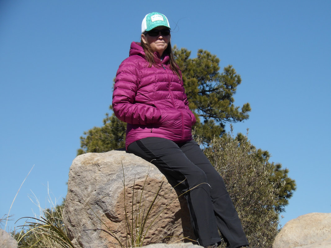
It got a bit chilly later because of the ice and snow so we put on our muffs and zipped up the puffy jackets.
We had to be careful on the ice as not to slip. This is not a good place for a twisted ankle. Oh, there is no cell service in the park. As always, we have our Garmin In-reach with us just in case of an emergency.
Lots of pretty views.
As we dropped in elevation, it got a bit warmer.
More amazing views.
This place is so surprising.
More tight passages.
We need to get moving. It is getting later in the afternoon and we would like to be back to the RV before dark.
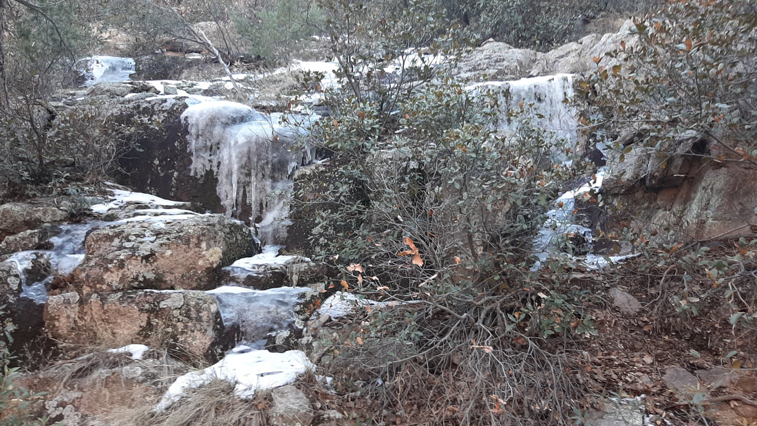
We walk on for a while and come upon a frozen waterfall.
Back to the truck. It was a great hike. So 3.2 mile hike completed in 3 hours, not bad for 2 people 63 years old.
0 Comments
Leave a Reply. |
AuthorWe are a couple who have started on a new adventure... Archives
February 2024
Categories |
 RSS Feed