|
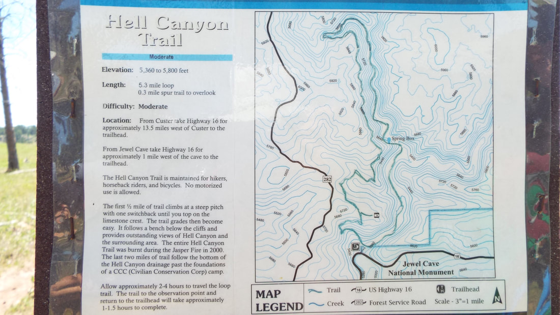
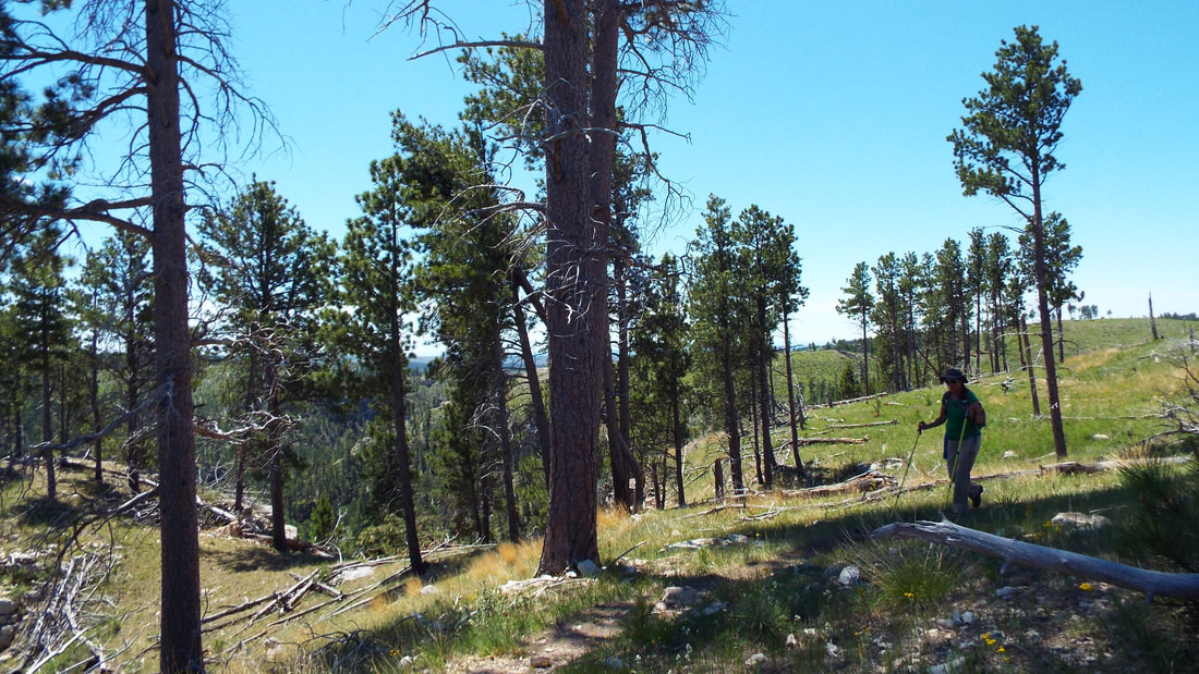
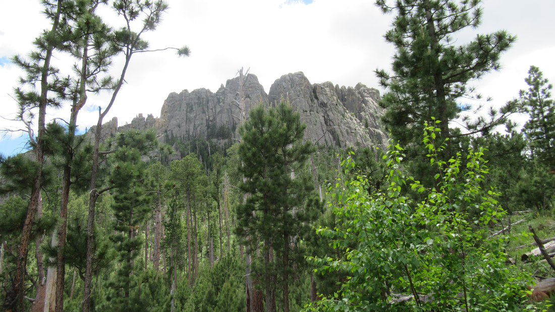
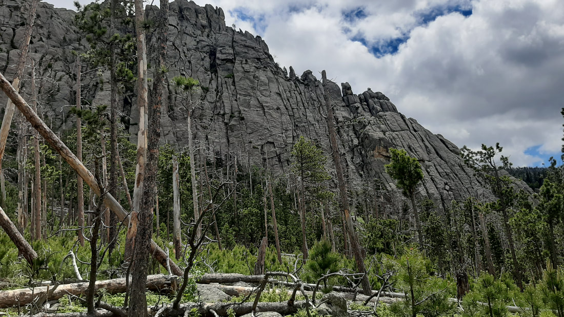
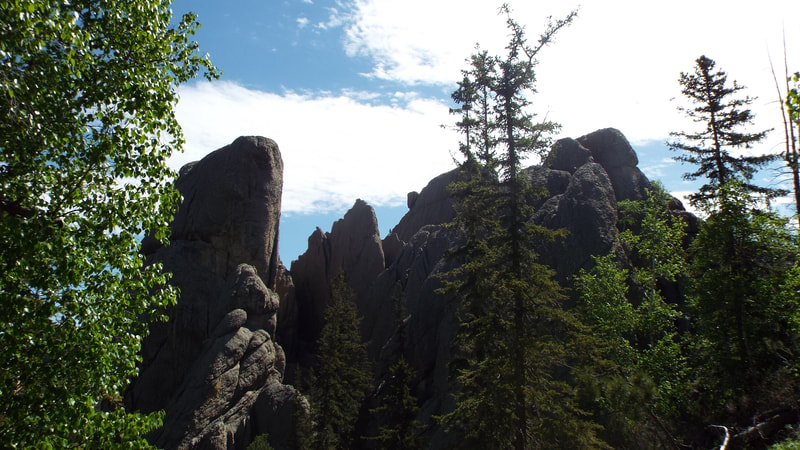
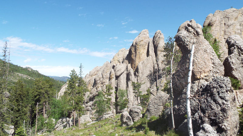
Today, we hiked the Hell Canyon Trail. It is s 5.6 mile trail loop. We started clockwise which puts all the elevation gain in the beginning. The total gain is 853 feet. All of the gain is in the first 2 miles. The trail includes a switchback climb up to the top of the canyon wall then turns just inside about 25 feet from the top. This gives a great close up view of the geology of the canyon wall and down into the canyon below. At the halfway point, the trail drops into the canyon and turns down in the bottom. The environment changes into a forest, meadows, springs, and a creek.
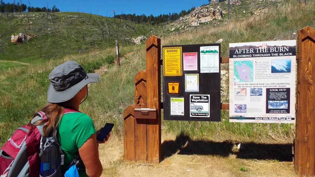
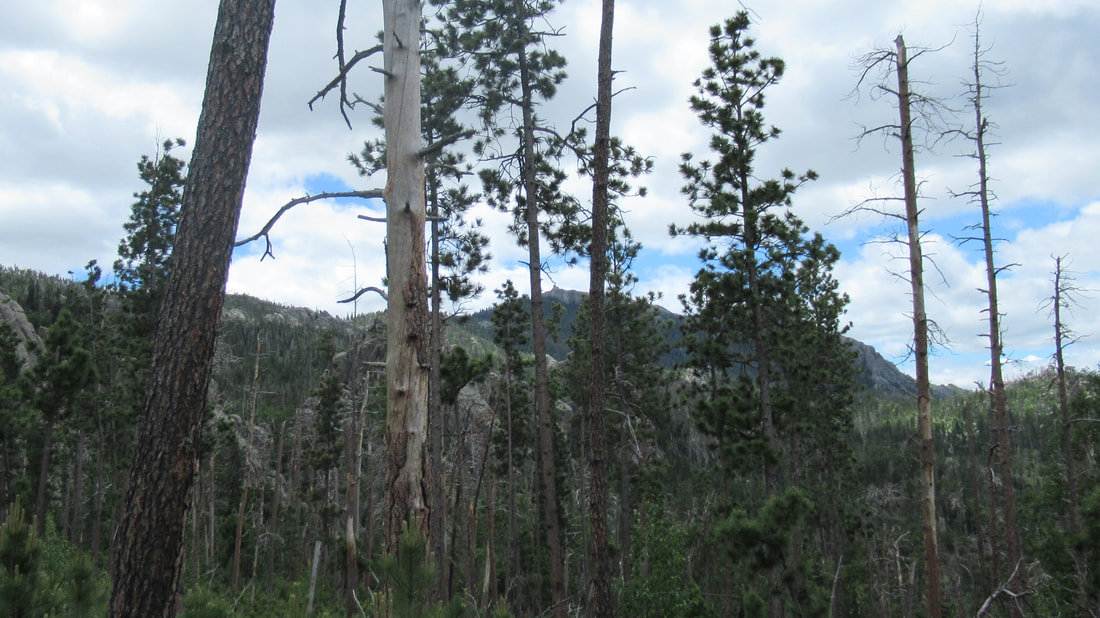
In 2000, there was a very large fire. There is still evidence of the damage. The primary change is that much of the forested land is now grassland and meadows.
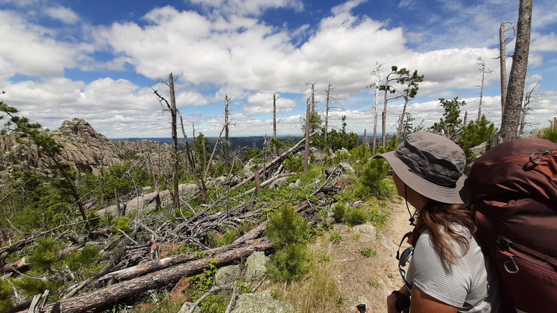
Time to climb up. At the top, the hillsides are all grassland meadows.
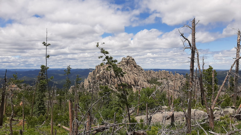
The view of the valley was amazing.
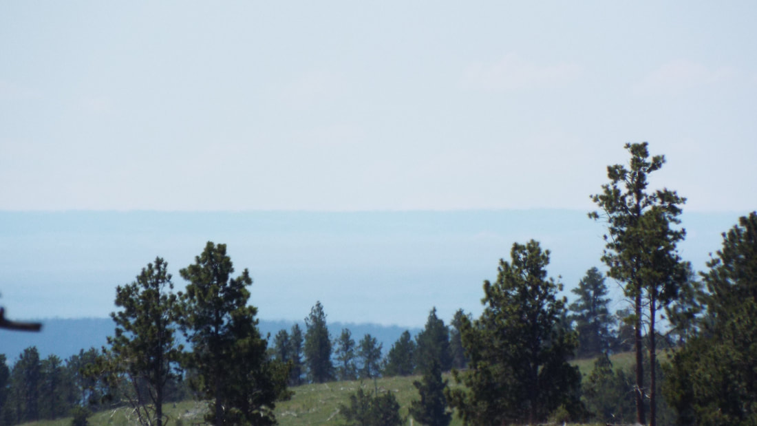
We could even see Wyoming. The trail at this point is only 11 miles from the state line.
Time to get going.
We get more amazing views including a couple of arches.
The geology is amazing. We could see small caves and variations in the layers of rock.
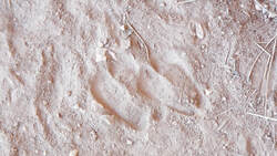
We found evidence that the trail is used by the local wildlife. I could not determine if it was a Bighorn Sheep or a Mule Deer. Both are known to be in the area.
Half way through the hike, we reached the valley which gave us a different perspective of the canyon.
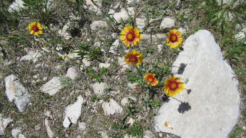
Of course, there were some pretty flowers.
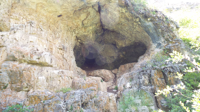
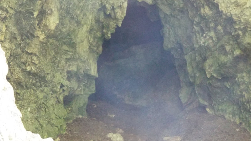
This cave was a bit larger than the others we have seen. It is supposed to have some bats further back in the cave.
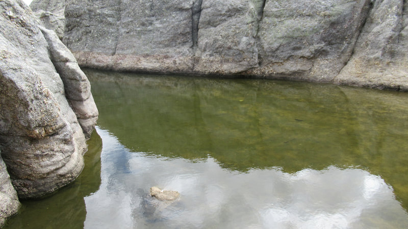
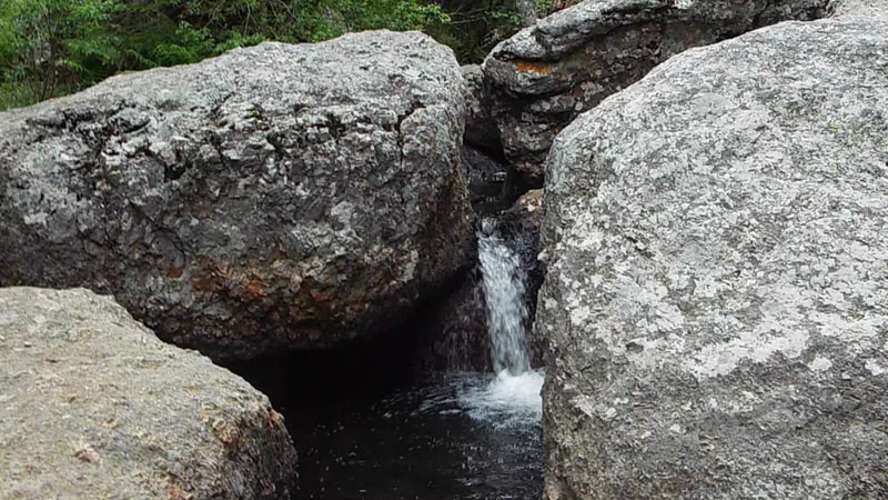
There is a spring at the floor of the canyon. The flow is over two inches in diameter that is pretty impressive. We found several with similar flow rates.
The walk just kept getting prettier but we never did see any Bighorn Sheep.
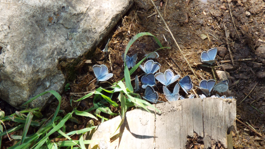
We crossed the creek formed from the springs several times. Butterflies were at several crossings.
Crossing creeks and streams is getting easier and we have not gotten wet yet.
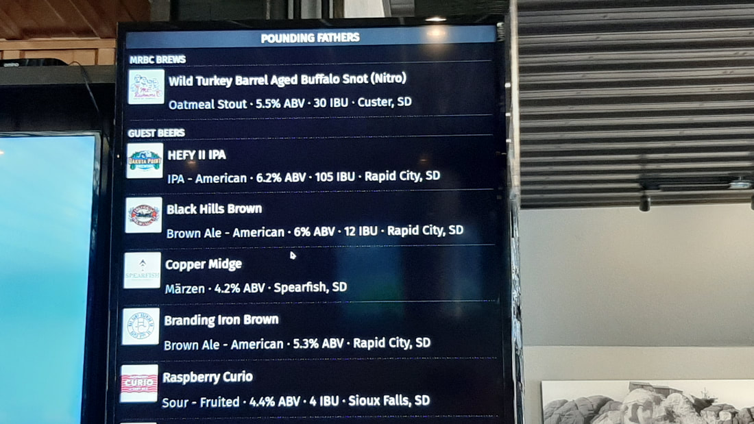
We enjoyed the hike and it was time for a late lunch. The brewery in Custer has some interesting names for their beers. One is Buffalo Snot. Shawna said it was very good. It is aged in Wild Turkey barrels. We had a delicious lunch at the Pounding Fathers Restaurant located above the Mt. Rushmore Brewery.
History.... Learning... Just a warning.
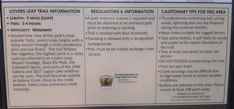
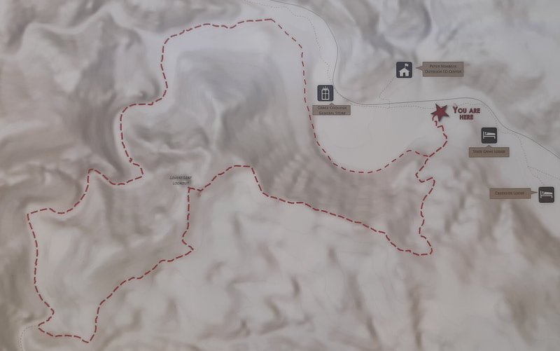
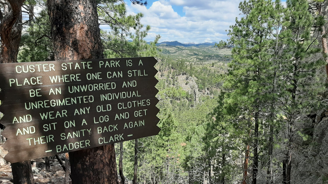
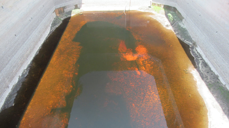
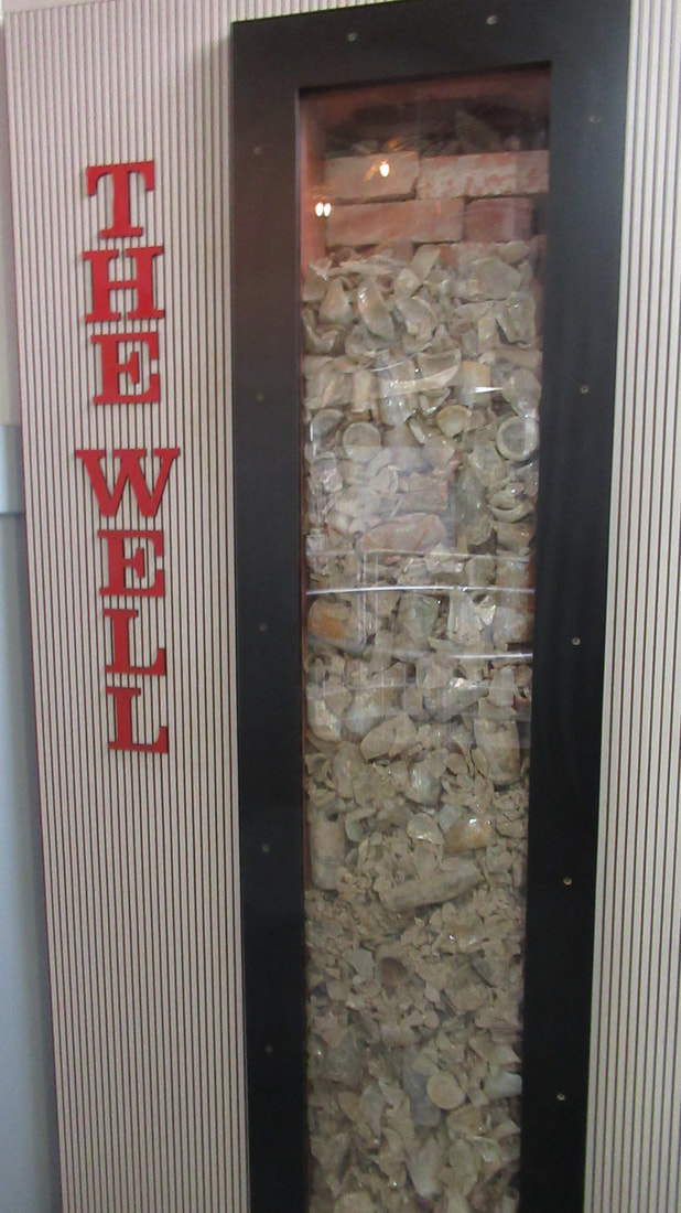
We stopped to see a historical site we had passed by several times. The structure is the stockade that was used by a group searching for gold illegally in the Sioux nations reservation. The Laramie Treaty in 1869 created a reservation for the Sioux Tribes. The boundaries of the reservation were as far north as the Yellowstone river in Montana and North Dakota, the east half of Wyoming, the west half of South Dakota, almost all of Nebraska north of the North Platte river. This was 26 million acres. All of the Black Hills Mountain range was inside the reservation. In 1874, Custer took an expedition of 1000 men into the Black Hills with the stated purpose of surveying the land and mapping the region. Confirming reports of gold and finding the locations of that mineral in the mountains was the real reason for the expedition. Soon the details on the gold find was public information which started a gold rush. From 1875 to 1877 over 10,000 people seeking gold came into the mountains illegally. Many just disappeared. The stockage was originally constructed by a group seeking gold. Within months of it being completed, the army came and took it over arresting all those they found there. Despite being in violation of the treaty none were charged with crimes and all were released. Most returned to the reservation to continue to search for gold. When the tribes objected to the invasion of gold seekers, the government responded by withdrawing troops and leaving the prospectors to stay at their own risk. By 1876, the treaty was broken by the government and the reservations size was reduced to removed much of the Black Hills from the boundaries. Mining camps like Custer, Hill City, Keystone, Deadwood later became small wild west towns. We as a government NEVER keep our treaties if there is profit to break that treaty. This is so wrong that promises are not kept. The hike today is 4.2 miles with and elevation change of 626 feet. We drove into Custer State Park but at first had some problems finding the Trailhead. There is no marker on the road. We asked at a small store near where we thought it started and they gave us directions to the parking area we should use. The trailhead is behind an old building that was about 100 yards of the main road. I am really surprised anyone even hikes this trail it is so hidden. We chose to go clockwise which made the first part of the trail very steep uphill but the last portion relatively flat and downhill. When we reached the "leap" it was a bit of a scramble to the top. The view was great. A sign at the leap was very thought provoking. The last part of the hike was along a creek. We crossed on rocks or small bridges a dozen times. We passed several places where buffalo had been through the area including scraping on trees. Pants were required because poison ivy grows along portions of the trail.
It was a fun hike.
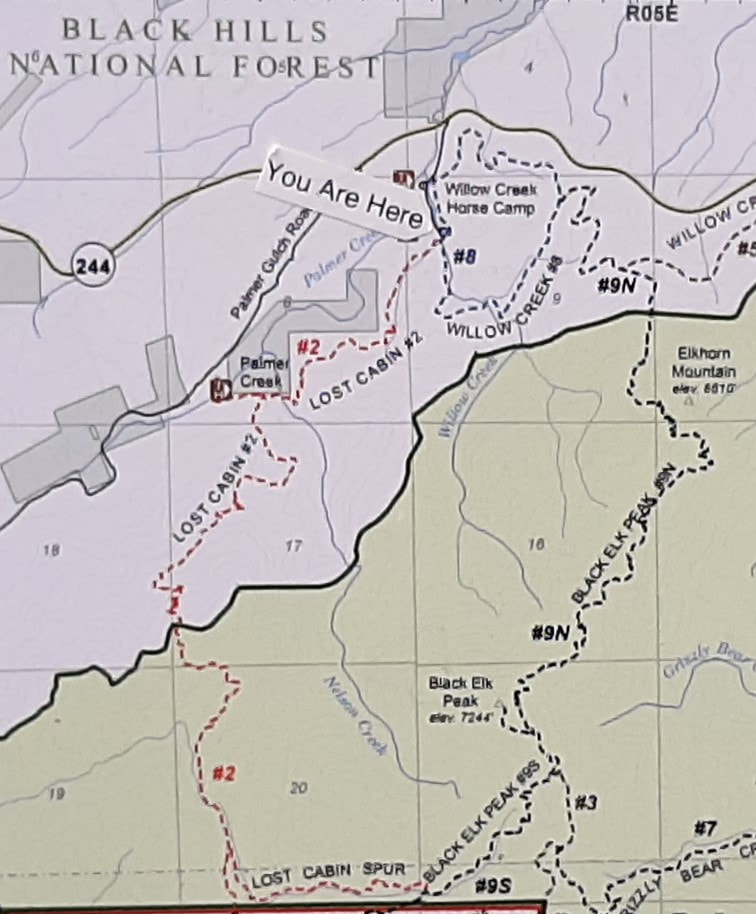
We have not gone on a overnight hike together since we were teenagers. This will be a challenging hike for us. The trailhead we will start from is a horse camp where we can leave the truck overnight. The total of the hike should be 15.6 miles with a 2,021 foot gain in elevation. Of course, that does not include the up and down we will hike to cross ridges and valleys along the way.
We will hike Willow Creek Trail to the Black Elk Peak to Harney Peak Spur to Lost Cabin Trail Spur to the Lost Cabin Trail back to Willow Creek Trailhead. It sounds complicated but it is not because they have very good signage.
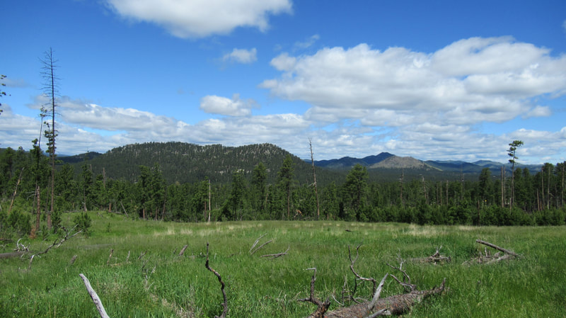
Very early in our hike, we walk through some very pretty meadows.
Soon we got our first look at Elkhorn mountain which is 6,365 feet. We will be looking down on this mountain later in the day.
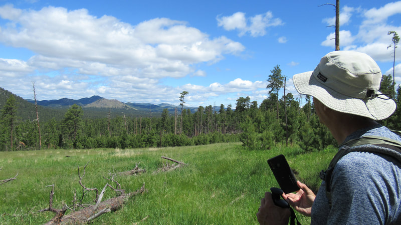
We get to walk through another pretty meadow with great views of mountains in the distance.
We are starting to gain some elevation. Still, it is a long way to go up the trail.
Elkhorn is getting closer but there is still quite a bit of climb before we pass this mountain.
Our first peek at the mountain that is the highest point on the trail which is also the highest point in the state of South Dakota. Black Elk Peak is 7,244 feet.
Let me zoom it a bit to show you where we are going. It is the Harney Lookout on the peak of the mountain.
We walk by many dead and fallen trees that were attacked by a pine beetle. It has caused a lot of damage in the forest.
Elkhorn mountain is close and impressive. Actually it is a bit worrying since it looks like portions could fall at any moment. Evidence surround us that it has happened not long ago.
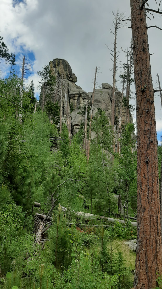
The rock outcrops are amazing.
Can you see the face in this rock outcropping?
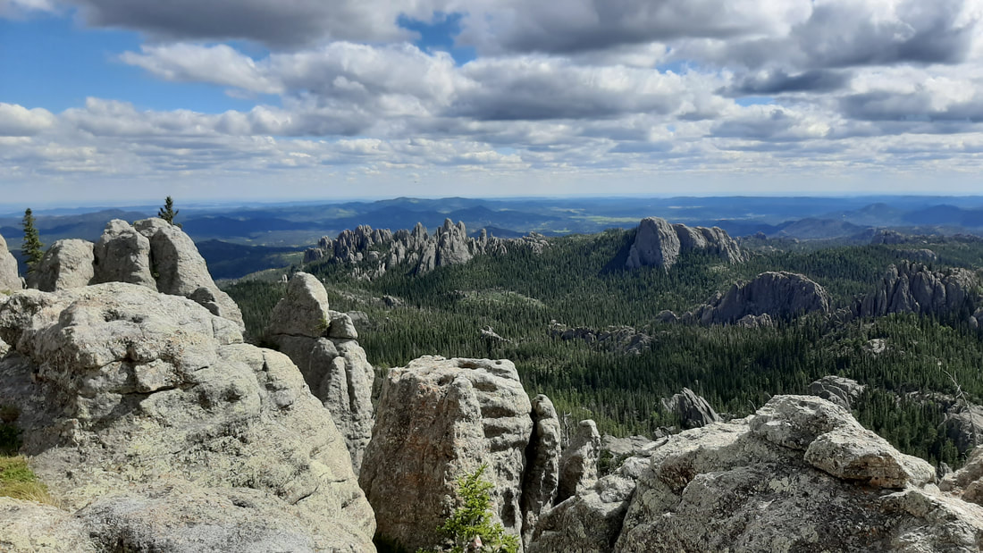
Our first overlook gave us some amazing views.
We are not quite up to the height of Elkhorn Mountain.
The trail changed as we walked . The beginning it was sand. As we gained elevation, the rocks started to be mixed in with the sand. Further along, the rocks were most of the trail. The rocks were gravel, rose and white quartz, mica, and several types we could not identify. Near the end, most of the trail was walking on open rock that made up the mountain itself.
Black Elk Peak is closer.
Almost there...
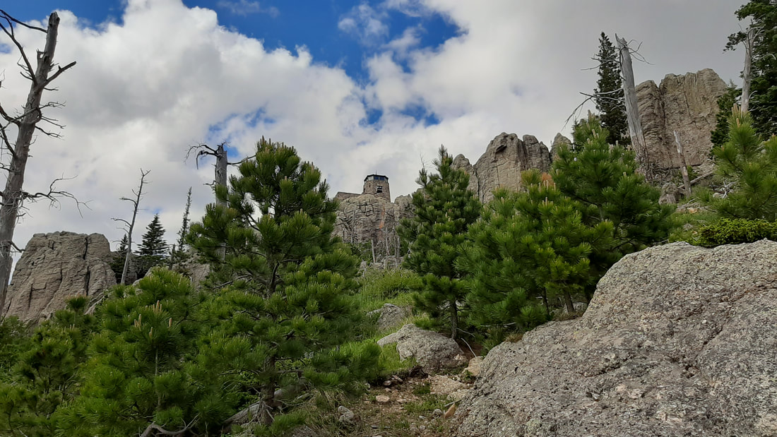
Harney Lookout was built to support rangers who used the tower to watch for wildfires in the surrounding forests. A lot of work was done to make the tower strong and as comfortable as possible considering the remote location. Even the walk up was interesting.
The rangers had a generator and a cistern to collect water. The closest natural water source is over 1000 feet below and over a mile walk down from the tower. I am sure that they kept the cistern clean while they were using it for drinking water.
The views from the tower were incredible.
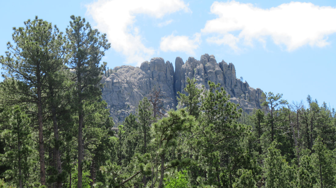
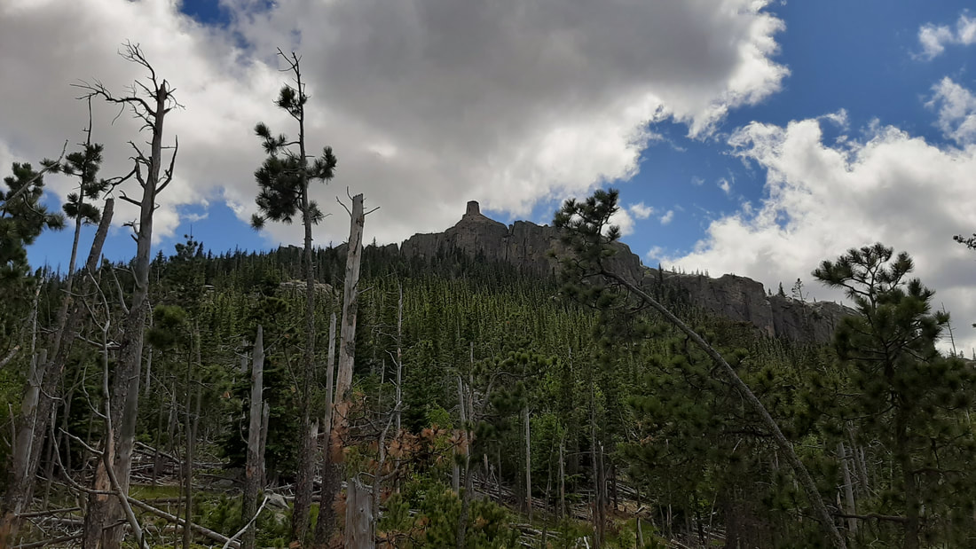
The Cathedral Spires and Little Devils Tower are easy to see from the tower.
Little Devils Tower from below.
We found a water source to filter for our bottles. We have a sawyer water filter that did the job very well. The water came out clear and tasted great.
A little way further down the trail, we found a "relatively" flat piece of ground in a small meadow.
The "kitchen" was a rock a little way up the hill to the right and the "bathroom" was to the left behind a house size bolder. Very private.
Dinner was freeze dried dinners. Beef stew for Shawna and Teriyaki chicken for me. It was a very quiet night once the birds stopped singing around 10pm. Being almost at the solstice and this far north, dark was just after 10. It was a chilly night. In the morning, I made "coffee". Well it was Folgers instant which is just as awful as I expected. Our next camping trip, I will be drip filtering Kauai coffee. Breakfast was freeze dried Southwest Skillet for Shawna and Biscuits and Gravy for me. Not nearly as bad as it sounds, add some boiling water and wait 10 minutes, the food was pretty good. We did see several really pretty flowers on our hike.
My fitbit shows that the first day was 27,000 steps and the second 17,000 steps. Total of 229 floors "climbed". Time for a day to relax and recover.
Today we go to the Badlands National Park for a hike. After the hike, we visit Wall Drugs which is a very big tourist trap.
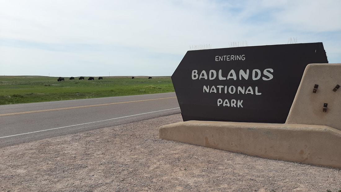
We started out early because it was going to be in the 90's by early afternoon. It is about an hour drive from the RV park. As we drove into the park a herd of Buffalo (yep still not calling them Bison) were at the entrance. Some of the males were huge.
The prairie dogs were yipping at the Buffalo walking through their "town". It did not look like the Buffalo even noticed all their efforts.
There are several areas referred to as "Badlands" and usually is from the difficulty in traveling through the area on horseback or wagon. The geology is a layering of mud, sand, and volcanic ash. The ash is in several colors which with the other materials gives the land a strange painted look.
Animal fossils have been found of sea creatures, three toed horses, saber tooth, and other animals. The first people in the area hunted Mammoth. Later it was used by the indian tribes. The canyons were useful to trap game such as Buffalo. The overlooks give amazing views of the formations. Volcanic ash forms most of the geology.
When wagon trains came west the area was avoided but some found the area useful for homesteading. The land around the park is prairie and the homesteaders planted farms and grazed animals like cattle and sheep.
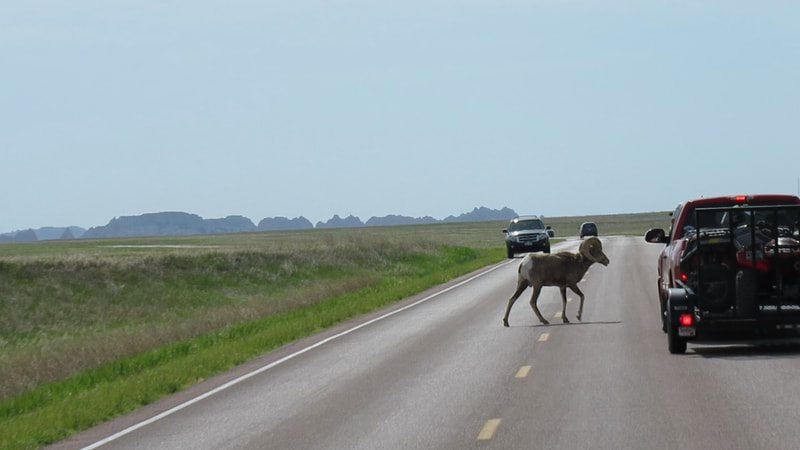
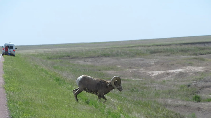
We did have to stop for a few minutes to allow a Bighorn Sheep cross the road.
The drive through the park gives stunning views of the geology. This is a bit long but I could only cut out so much of the original video.
Our hike was a bit challenging. The beginning and end of the hike is a steep cliff so up and down to the same transition of elevation. It is challenging because much of it is a rock scramble. The formations are amazing.
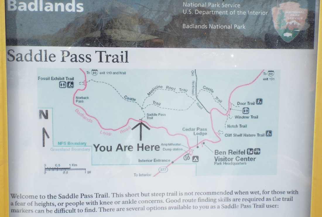
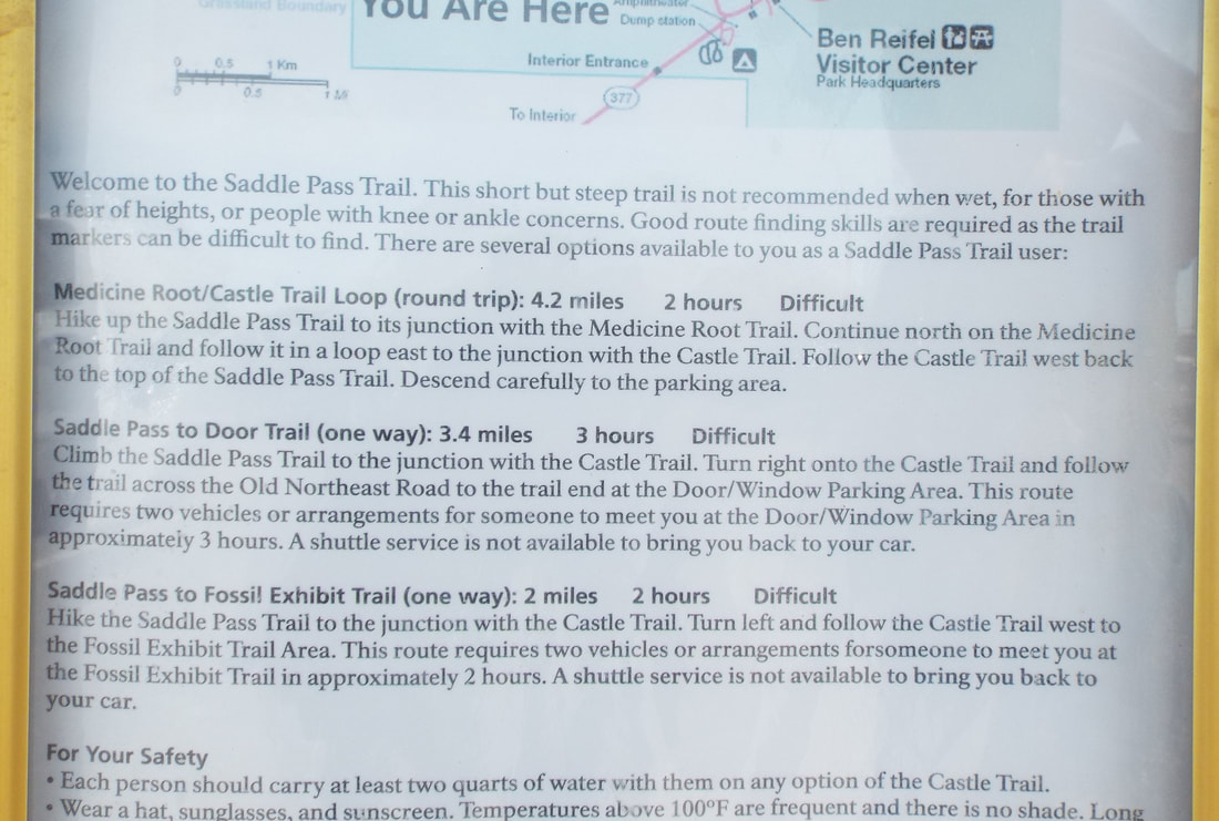
First, we hiked Saddle Pass trail which connects to Medicine Root Loop trail and finally returns to Saddle Pass on part of the Castle Trail. Our elevation change is only 337 feet and the length of the hike was 4.5 miles with much of the hike through the prairie.
Of course, all most all our trails are considered difficult.
We took pictures of some very pretty flowers.
Near the end of the hike, we left the prairie and returned to the fascinating geology the park is known for having.
As we hiked around a large formation, we saw a group of 10 Bighorn Sheep standing and laying down in a grass field. The male was keeping watch of what we were doing but soon must have decided we were not a threat because he returned to eating and then even laid down with the rest of the group.
After passing the sheep, we turned back onto the Saddle Pass Trail and made our way back down the cliff to return to the truck.
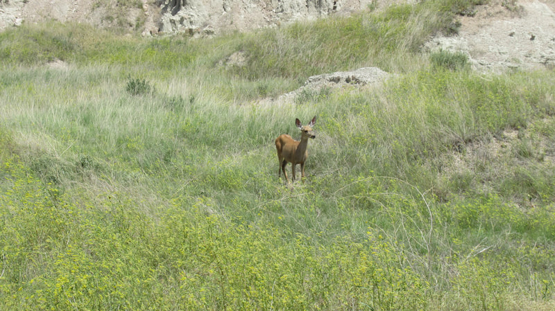
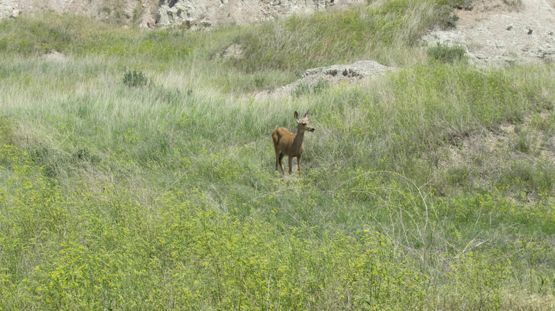
Our last bit of wildlife was a huge mule deer doe standing just off the road. With ears like that, I doubt anyone would ever be able to sneak up on her.
We stopped at a couple of overlooks for some interesting pictures and incredable views.
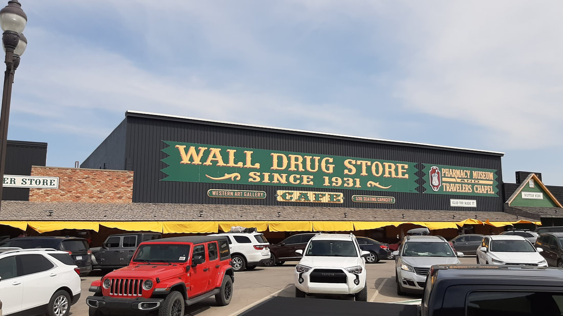
After the park, we drove to the town of Wall to visit Wall Drugs.
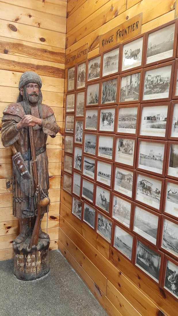
In the 1930's, the town of Wall was failing and most of the people had no income because a drought had destroyed the recent harvests. After purchasing the Drug store in 1931, Ted Hustead noticed that people were traveling through the area but not stopping. At his wife's suggestion, he decided to offer free cold water and 5 cent coffee to influence them to stop. It worked and the town was saved by the tourists buying food and staying in the motel. Soon word was passed that it was a good stop for a break when crossing prairie. It seems that he just had to keep out doing himself each year. The store was added to with a soda fountain, cafe, donut and fudge shops,... It snowballed from there and now includes a western store, camping store, book store, jewelry stores, and of course a drug store. Today Wall Drugs covers an entire city block of interconnected shops selling every kind of tourist junk you can think up and some serious things too. It is so big that they hand out a free map. The advertising on the highway is out 100 miles east and west along the interstate. We enjoyed looking at the photos along several long walls. They were all very old with many pictures of Custer, his cavalry, Annie Oakley, Indians, Cowboys, Chuck wagons, Wagon Trains,... All real photos.
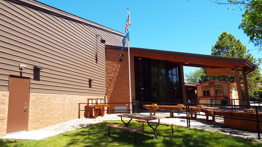
They even have some things to distract the kids (or the young at heart).
The drive back we were looking at clouds raining on the Black Hills and hoping to get home before it got to the RV park.
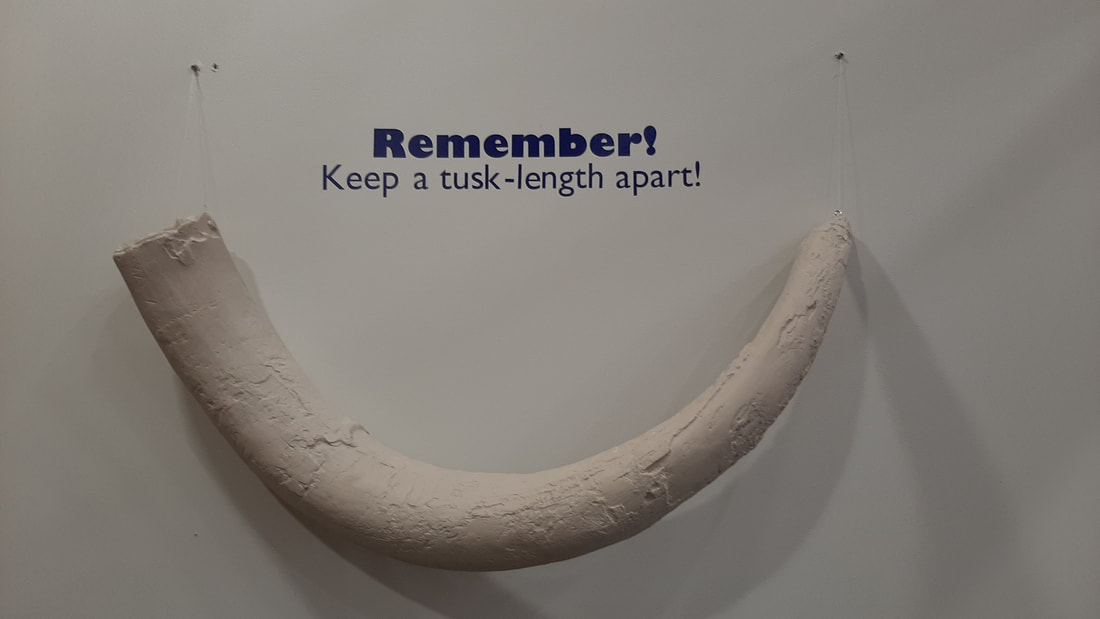
Warning the following may be considered by some to be educational. Today is expected to be in the 90s so we will be doing something today that is in an air-conditioned building. The Mammoth Site is an active dig site in Hot Springs, SD. It is about a 30 mile drive from our RV park. Lots of places have found a humorous way to describe "social distancing". In Florida State parks, the length is measured by length of a alligator. New Mexico State parks say stay 4 road runners apart. Here it is the length of a Mammoth tusk. We both knew of the site and were very interested in going to see it. There was an introductory film which described how a man owned the land and was using a bulldozer to remove a large mound of dirt. When bones were discovered, he halted all work and contacted a professor he knew. The site was verified and then was sold to a non-profit foundation at the land's value. They built a building over the site to protect it and have maintained the site since. The site is the largest Mammoth dig on the continent. They have over 60 mammoth skeletons but only have dug into a portion of the site. In the most recent core sample, they got to 65 feet and had to stop because they struck bone. Visitors walk on paths around the outside of the entire site and above the length of the site. When we arrived there were about a dozen people working on the site but soon most left for lunch. We were able to speak to 3 of the students who remained. They were very knowledgeable and happy to answer any questions we had. Two were working on clearing soil from bones and stopped to tell us what the bones were from and the progress being made. The next area was set up as a museum. There were examples of a home if constructed about the time the mammoth lived. A full size replica of a columbian mammoth standing. (the wooly kind were not common in this area) They have some displays on the mammoth babies that were found frozen in Siberia. I decided not to take pictures of them as you can imagine what they would look like. We had a lot of fun and decided to head back to the campground for the rest of the day.
I thought it would be nice to post a few pictures Shawna took of the lake at the Horsethief Lake campground. We have been camping here for 9 days. The lake has trout and is popular for kayaking, paddle boarding, swimming, cliff diving, and fishing.
Day 9 of our 9 day challenge
We are still doing great on our challenge. The fresh tank is at 1/3rd and our others are not even close to full. We decided to drive the Iron Mountain Road. The road was designed to be the first highway built for the purpose of being art. It's about the journey, not the destination. The Iron Mountain Road has 17 Miles of road with 314 curves, 14 switchbacks, 3 pigtails, 3 tunnels, 4 Presidents, 2 splits in the road, and some very beautiful overlooks.
We drove back to Hill City. The last winery/brewery to visit is called Naked Winery and Sick-N-Twisted Brewery.
They have interesting and definitely not subtle names for their wines and beers. With company named like that, it does not take much imagination to think of the types of names they would come up with for their wines and beers. If you want to see the names look to their website.
https://store.nakedwinerysd.com/Shop/Featured-Wines https://www.sickntwistedbrewery.com/
They had a really fantastic pizza.
After the winery, we stopped at the town visitor center and CCC’s museum. They had a very old truck that was used by the CCC’s in the building of Custer State Park. The visitor center had some great information on trails in the area we had not found out about yet.
Downtown had several very interesting shops.
Tomorrow, we move back to the RV park in Hermosa, SD. Not only do we need to dump tanks but having full hookups will be nice after 9 days without any.
Day 8 of our 9 day challenge
Back to Custer State Park to hike Sunday Gulch trail. It is considered a moderate trail of 4 miles. The climb is about 775 feet and most of that is at the very end of the trail along, over, or in water flowing from Sylvan Lake.
The start is behind the dam at the lake. The description was pretty accurate. We did walk among huge towering trees, huge boulders, a creek, meadows, places where the trail is deep between towering granite rock walls, and steep challenging portions to the trail. Warnings are posted at the trail head. You will experience rugged terrain, water crossings, and should bring at least a quart of water per person.
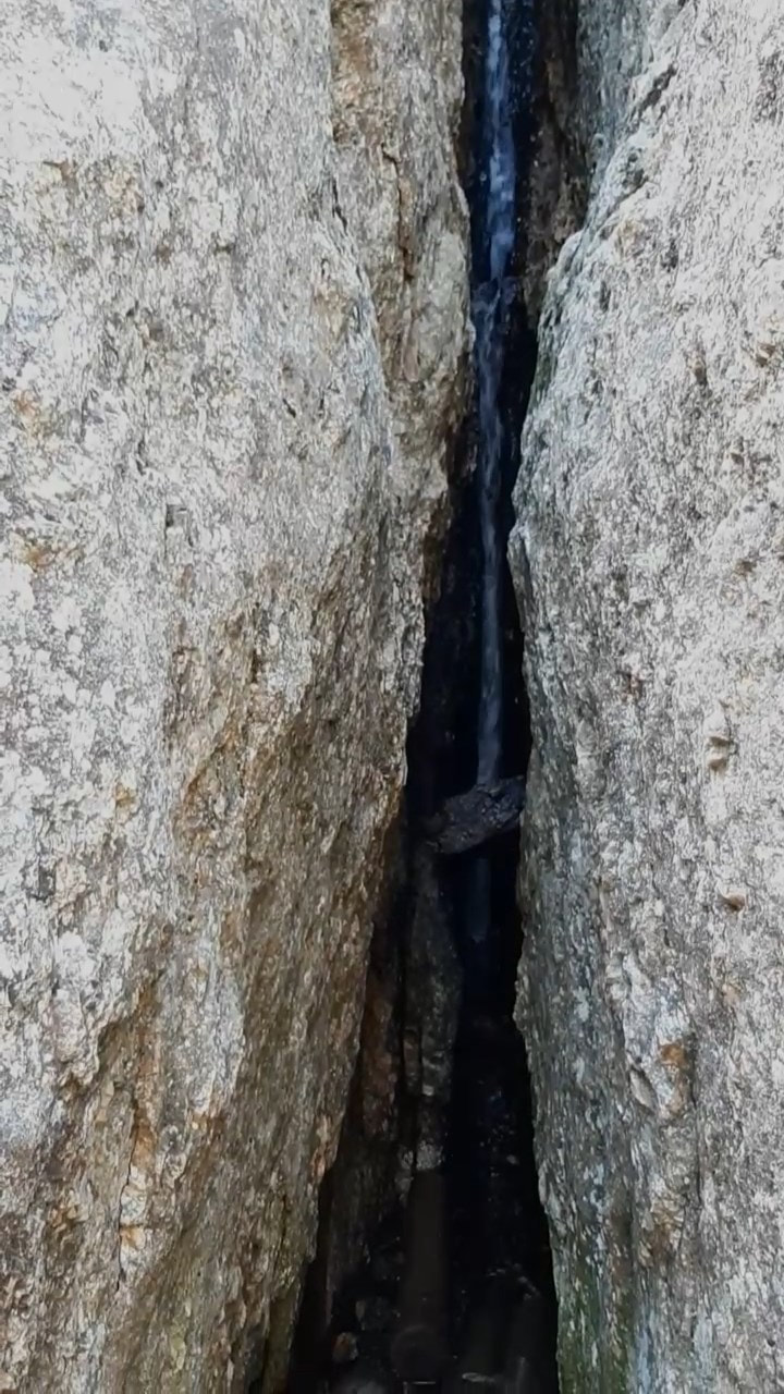
From the very start, we had some fantastic views and it started with a waterfall.
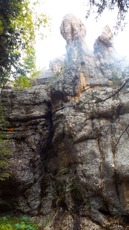
I am still surprised at seeing a gigantic bolder just hanging precariously. Many of the boulders almost look like they were stacked up. I still have the impression that a giant's child was playing here.
The views were impressive.
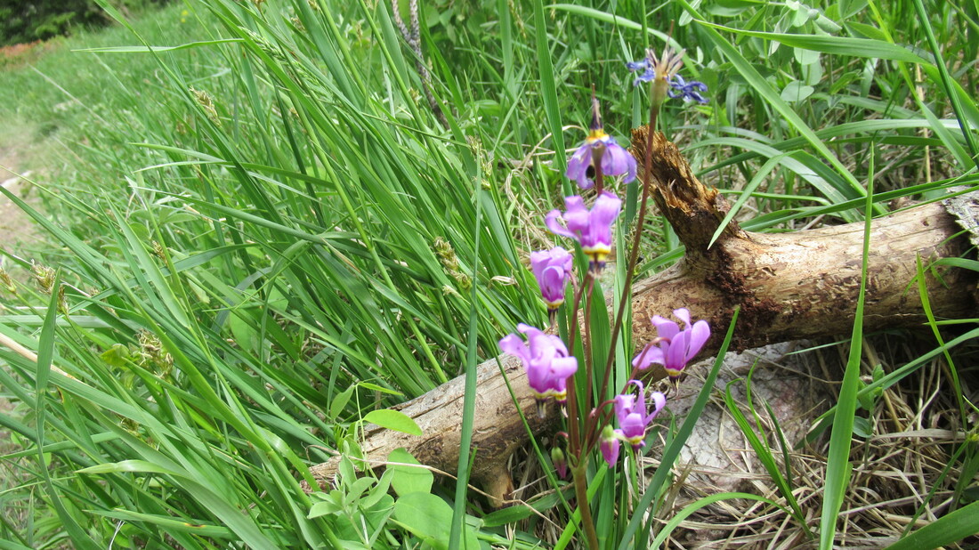
Of course, there are some nice flowers along the way. This one is called the Dark Throat Shooting Star.
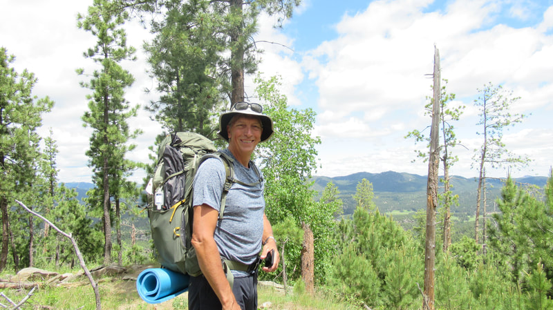
We carried our packs. The trail was a good training hike for tougher longer hikes in the future. We were warned that Poison Ivy was present along the sides of the path so wore pants instead of shorts to protect our legs.
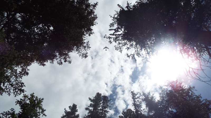
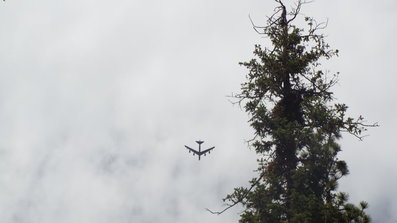
We have been seeing military planes take flights over the Monument. The President is having a special event at Mount Rushmore on July 3rd. I think they are practicing to get their position for that. We have seen AWACS, B2 bombers, and now B52’s.
The views continued to be beautiful in their own way.
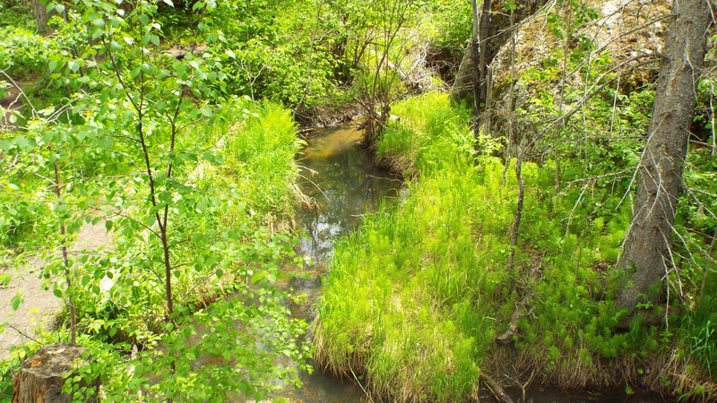
We crossed the brook several times.
As we got close to the last portion of the hike, we started up the mountain back to the lake. Doing this required climbing in the same ravine that the overflow came down through.
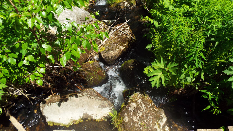
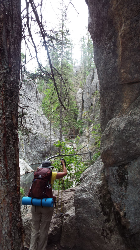
Much of the time we were walking over the stream of water sometimes on logs or large rocks. On the more difficult areas there was a pipe handrail.
In the evening back at the campground, several deer walked across the campground road. They started eating directly across from our 5th wheel.
Day 7 of our 9 day boondocking challenge
We are still doing great but today is more cloudy than most days so the solar panel is limited on how much it will charge. Our water is doing great. We used our generator to bring our batteries up. Back to Hill city to upload a blog post and do a little shopping. Hill City and Keystone have very good cell speeds so when we want to upload a blog post or access the internet we need to go to one of those areas. We can get a call out from a specific location in the campground but actually using the internet is not possible unless we drive away from the campground. Rain. We have not had rain of any appreciable amount until today. |
AuthorWe are a couple who have started on a new adventure... Archives
February 2024
Categories |

 RSS Feed