|
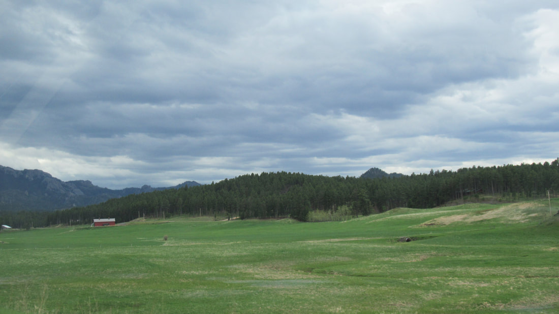
Today we travel to the Custer State Park. It is about a 20 minute drive from the RV park. The park has a variety of landscapes including mountains covered in pines, rolling prairie hills covered in grasses and deep rough rock canyons. The plan is to do the "tourist" drive through the State Park.
Tourist drive:
To drive slowly on roads through a park (State, Federal, or otherwise) looking for wildlife or scenic views. Slowing or stopping traffic is expected. Stopping at all pull-outs and reading informational signs is required.
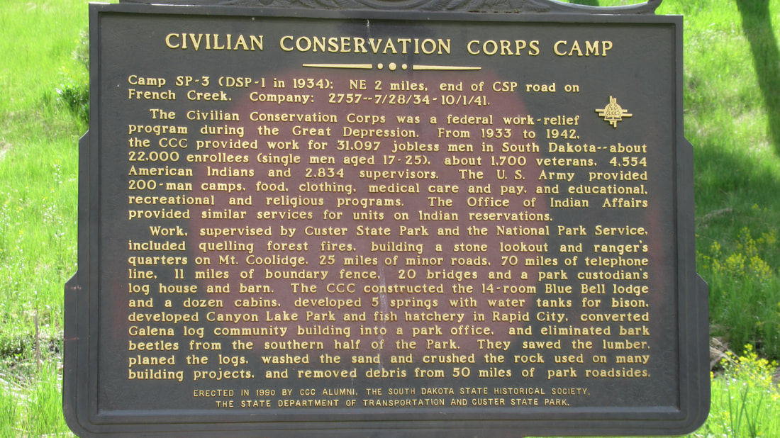
The park was built by the CCC (Civilian Conservation Corps) from 1933 to 1942. They built 25 miles of roads, 20 bridges, and buildings for the park. It is an amazing park.
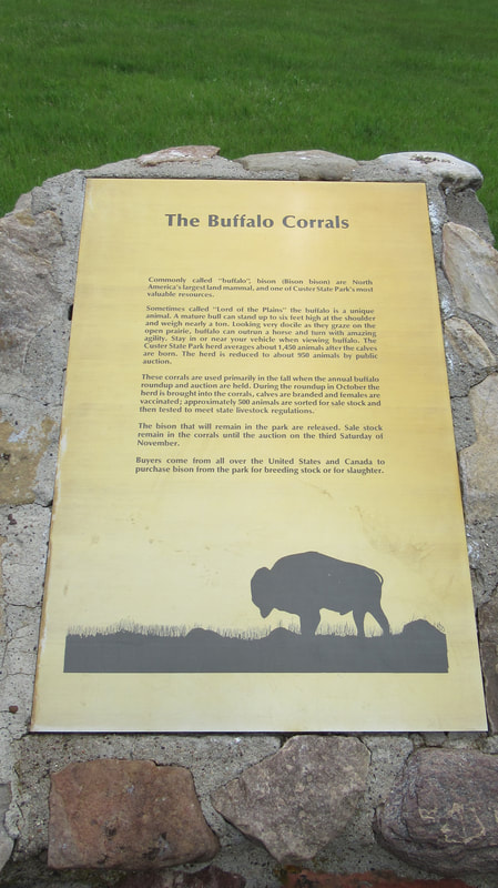
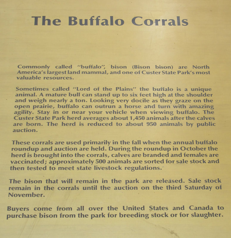
Custer State Park started with 36 buffalo in 1914. They have between 900 and 1500 in the parks herds. From more than 50 millions of animals when the first Europeans came to the prairie the numbers had been reduced to less than 1000 by 1890. If it were not for ranchers deciding to save the species, buffalo would have be extinct. One of the stated reason for the creation of Yellowstone was to save the last wild herds of buffalo. Now there are herds in multiple states to protect the species.
There were several large herds of Buffalo we were able to see today. It seems that every female has a baby.
Even more Buffalo. Yes, I call them Buffalo not the "official" name of Bison. No one has ever heard lyrics of "Where the Bison roam..." or that famous hunter and showman "Bison Bill", ordered a dozen hot and spicy Bison Wings, have you ever visited that city in the north east Bison,NY ??
Further down the road, we could see a coral in the distance. It is there for the park rangers to bring the buffalo together each fall. They are checked and vaccinated.
The drive was beautiful beyond the wildlife.
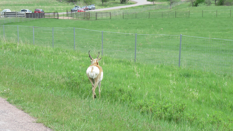
We were also able to see some Antelope and Mule Deer on our drive. The deer crossed just before we came to that point in the road. They were so far up a hillside and in the trees that we did not get any photos.
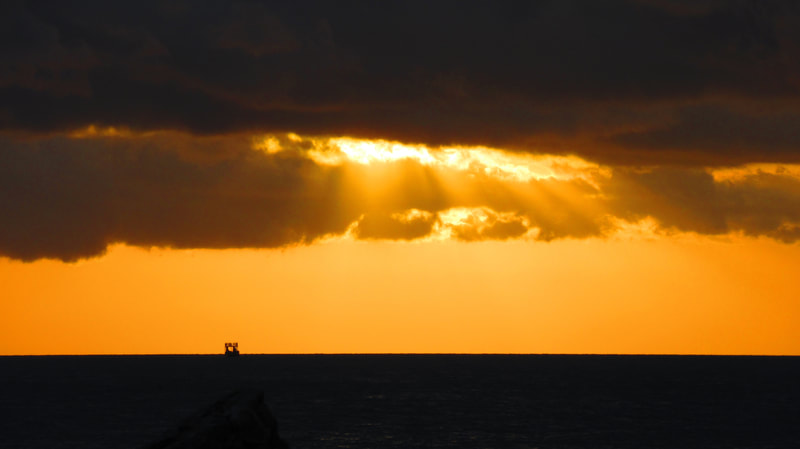
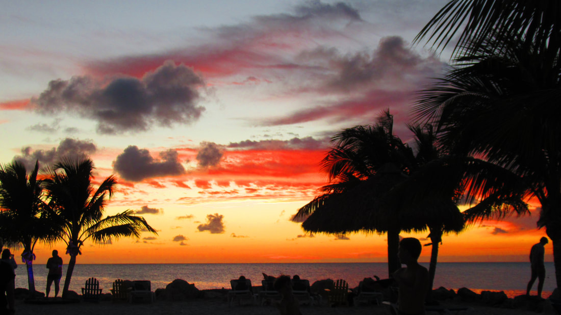
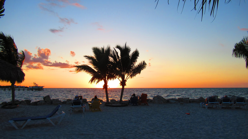
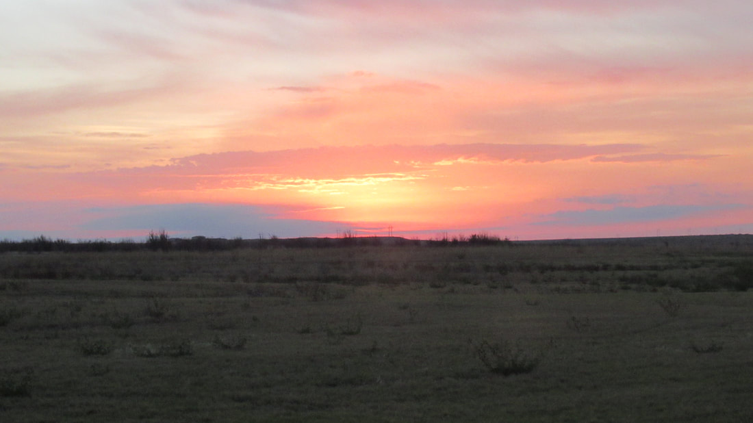
The day ended with a great sunset.
1 Comment
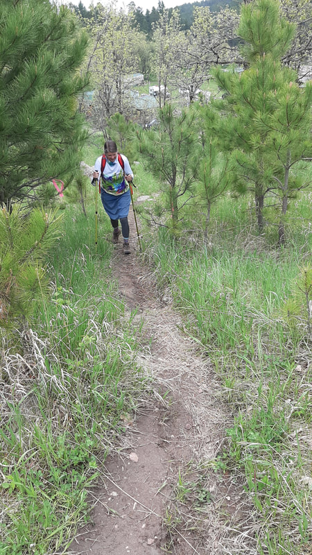
Today we are off to the Black Hills National Forest - Norbeck Wildlife Preserve. The trail we are hiking is called Spoke Creek Cabin Loop according to Alltrails app but the locals call it the American Flag trailhead because there is an add on with the American Flag on top. The hike is listed as 2.7 miles and an elevation gain of 702 feet. We took a couple of side trails that added quite a bit to the hike. I think we added about 50 feet to the elevation and extended the mileage to just over 4 miles. The up and down added a few "floors" to the hike. My app shows we climbed up and down 74 floors. One of the extensions took us up to the boundary line between the national forest and Custer State Park. We did get some great views.
The trail head starts at an private RV park. We were able to talk to the owner and he was the person who maintains the trail markers. He also had some very good information about the trail and how he would like to extend and develop trail extensions.
After a lot of climbing up, we reached our first overlook.
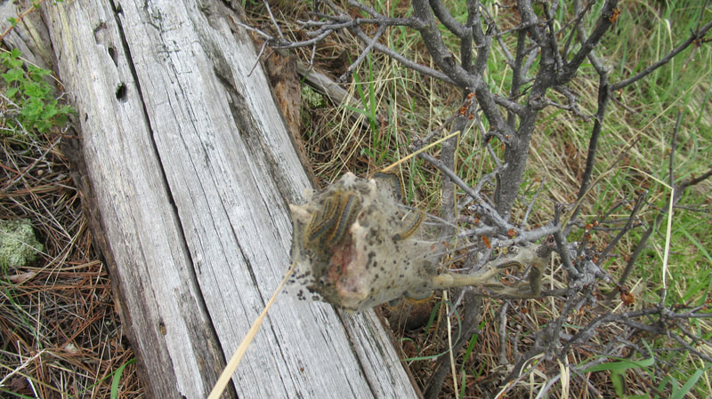
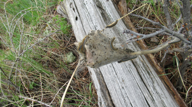
Shawna noticed some caterpillars that had hatched out of the mass of silk bundle.
Near the top of the second mountain, we got another great view.
At the Custer State park boundary, they had an Elk jump on the fence line.
The road to the RV park and the trailhead, and beyond is very interesting and just as wild as the sign describes.
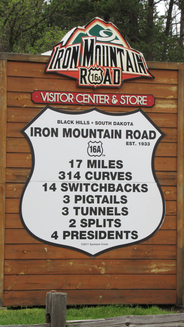
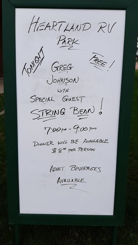
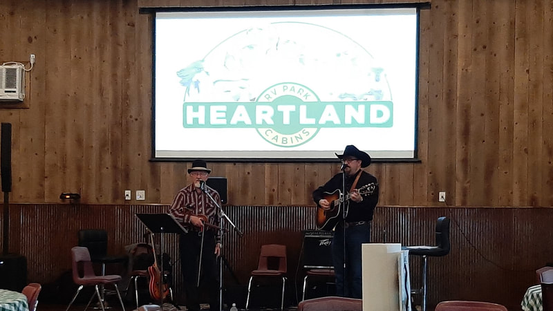
When we got back to the 5th wheel, it was time for dinner. This weekend the RV park served a meal with live music. It was fun and the musicians were fantastic.
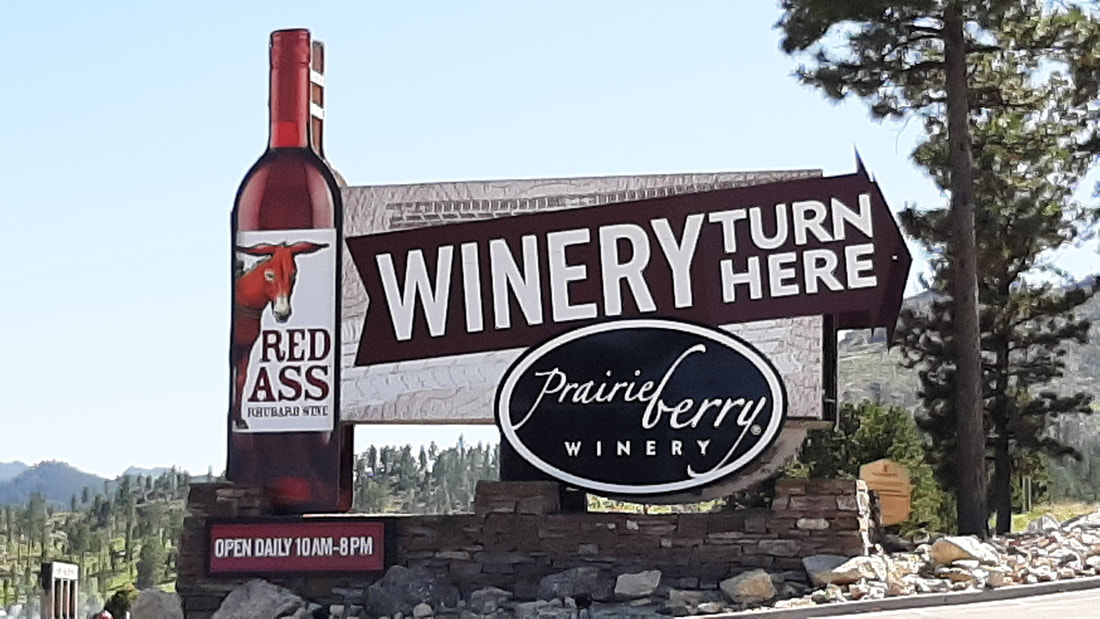
Today we decided to go into Rapid City to get supplies. After shopping and lunch, we drove up to Hill City. The primary reason for the drive was to check another road to use to get up the mountains with our 5th wheel. Two of the routes to drive to the next camping area have very steep grades of 15% at times. This new road we tried was much better with 10% grades but will add 30 minutes more of drive time. A safer road is alway better than the quickest road. When we got to Hill City, we stopped at one of the winerys. Obviously the owners have a sense of humor. They have wines named for interesting characters from the area and some just for the fun of it.
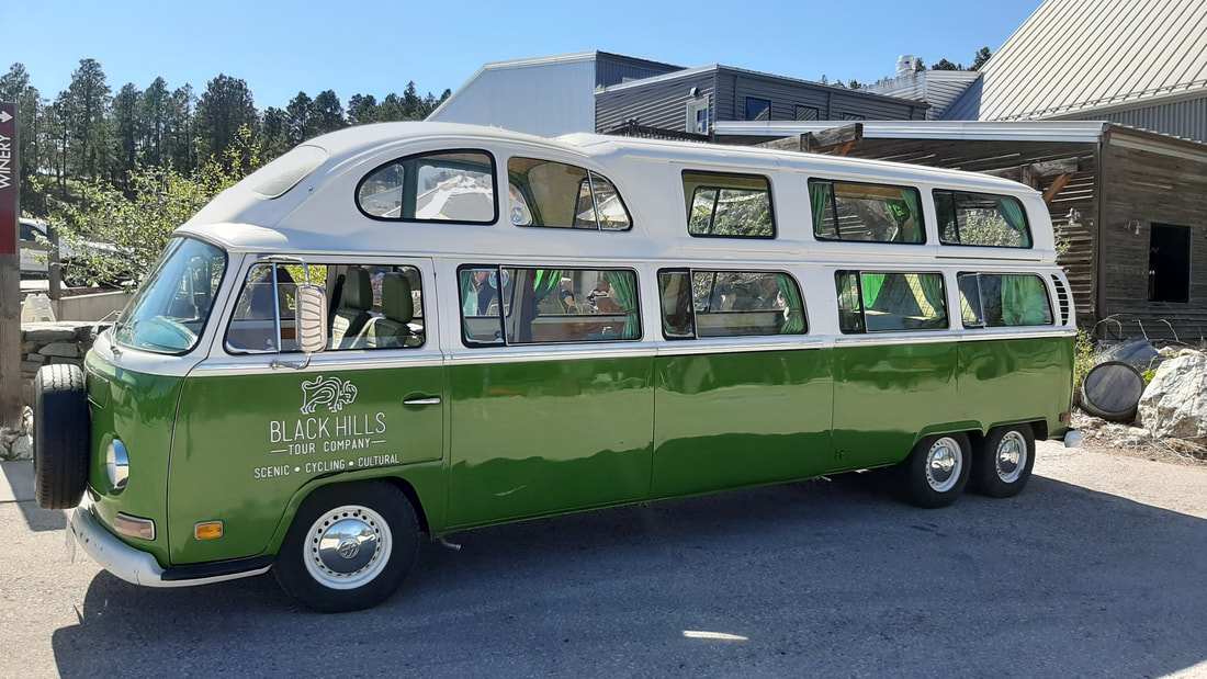
Some of the more interesting names are Gold Digger, Blue Suede Shoes, Red Ass Rhubarb, Deadwood, Poker Face Alice, Wild Bill, Calamity Jane, Phat Hog, Buffaloberry Fusion. As we were leaving, a tour bus pulled up. It was a very modified VW Van. Today, we drove the truck up to Horsethief Lake Campground in the Black Hills National Forest. This is the campground we will be moving to on Monday. Some roads in the area surrounding Mount Rushmore have steep grades and some tunnels. We decided to take a drive up and see the site we have reserved and which road that would be best. The campground is only 22 miles away from our current campground and about 1.5 miles from Mount Rushmore. We got a quick view of the Presidents. We would have stopped but that was not the plan. It was a bit drizzly so not a good time to walk to the viewing area from the parking lot. After checking the campground site, we drove to Hill City (funny). The important thing about Hill City is that they have several wineries and breweries. Ok it was important to one of us. I was more interested in having lunch. The one we chose was Firehouse SmokeJumper Station. They make both wine and beer. Two-fer? The "city" has four wineries/breweries that are one next to the other in a row along the highway. I suspect we will be coming back to try the others over the next week or so.
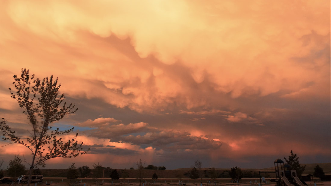
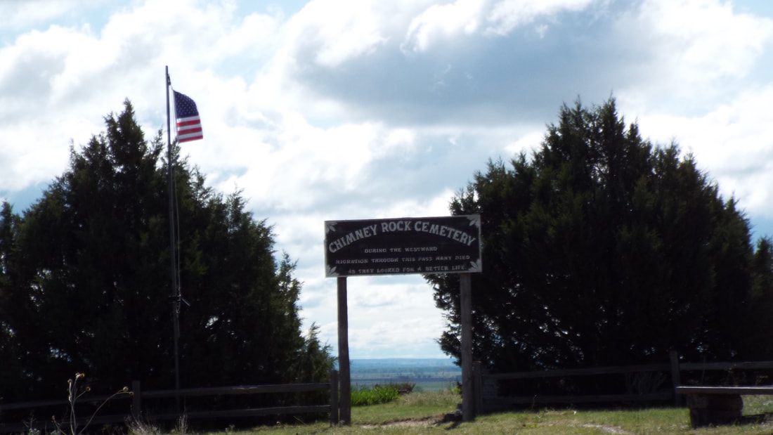
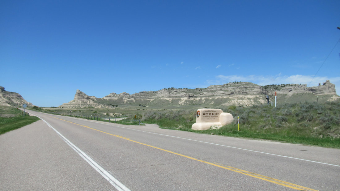
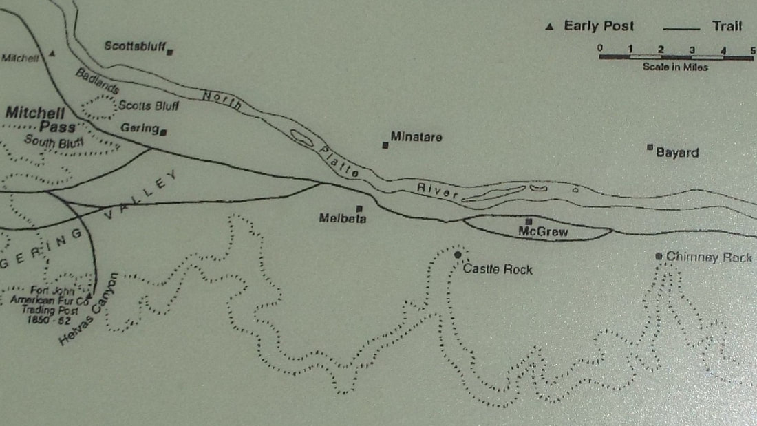
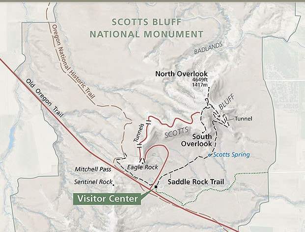
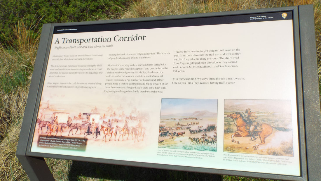
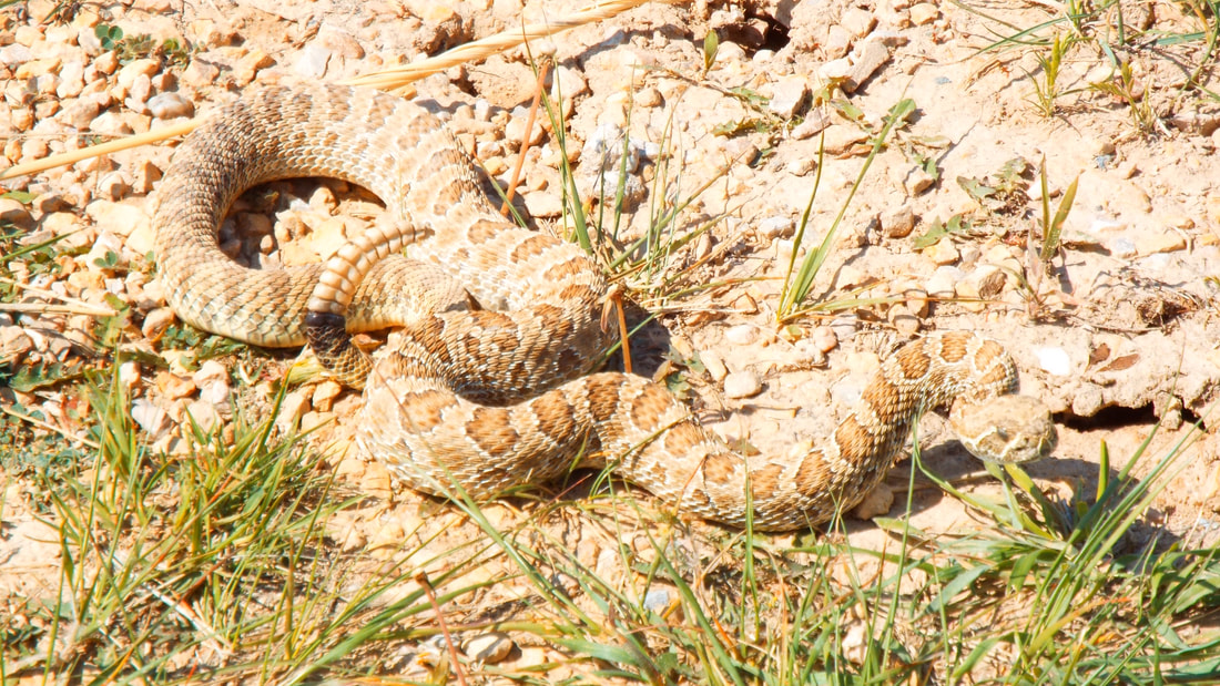
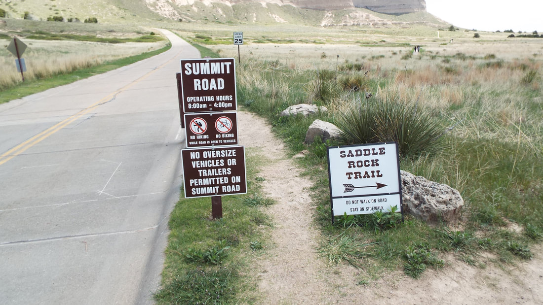
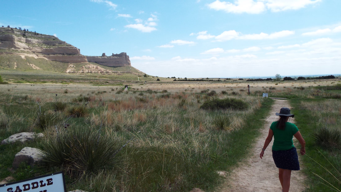
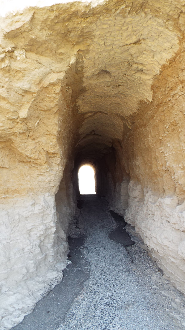
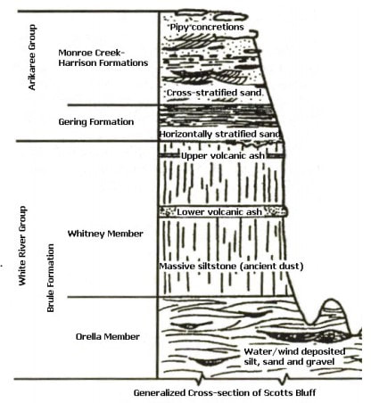
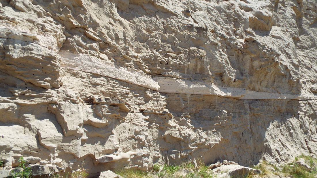
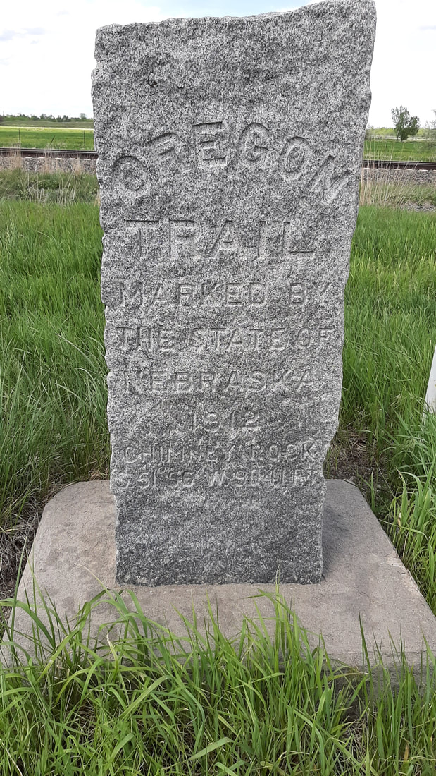
Shawna had a flight of beers and a plate of Assorted Cheeses, salami & Pickled Vegetables. I got "The Smokejumper" hamburger with balsamic caramelized onions, applewood smoked bacon, and smoked gouda. Everything was great! Back to the campground before we get rained on. Tonight will be our last night in Nebraska. We stayed at a national forest campground that had no power or water just a pit toilet and some gravel sites and roads with fire grills. Last night was very cold, 38 degrees. We forgot to set our furnace so this morning it was 58 degrees inside the RV. About 4:30 am, I woke up feeling very cold and turned on the heat. Today, we drove into a new state. Our first views of South Dakota were of rolling hills of prairie grass all the way to the horizon. The day before we were leaving, it rained all day long. We even got a little bit of pea size hail in the evening. The sunset was fantastic. We even had a bit of a rainbow. The last morning here, we drove to the end of the road near the monument. The Chimney Rock Visitor Center is closed so we continued on to the Chimney Rock Cemetery. We found some markers for people who had died on the Oregon Trail. The families had returned later and replaced the simple markers with ones made of hard rock like granite. This cemetery is still used today by the local people. We continued down a small trail to the base of the monument. The cliffs nearby show the geological history of the area. We had a couple of girls on the trail behind us and they continued up on the outer edges when we turned back to the parking lot. Can you see them in the picture before I started zooming in on them? Today, we will hike to the top of Scotts Bluff. During the virus the national park service has closed the visitor center and does not allow parking at the top of the bluff. We might understand closing the visitor center but allowing people to park at the center but not drive to the top and park. ??? This was actually good for us. Because the road is closed, we are able to hike up the trail and then walk back down on the road. When people left Chimney Rock heading west, they looked to the bluff as the next stop 23 miles away. That was too far for one day but would make two short days of travel. It was known that the bluff was the next place with a clean water spring. Our drive to the bluff was just under 30 minutes. It makes you reflect on how good our lives are today. The national monument was created by Franklin D. Roosevelt using the Civilian Conservation Corps (CCC) for construction. CCC started work at Scott's Bluff National Monument in December 1933 and was completed April 1939. The first task was to make a trail to the top for tools and workers. This later became the Saddle Rock Trail. The young men hand dug out the parking lot at the top, roadway, and the three tunnels. This sounds impossible but the bluff is compacted sand. On our hike up, we could rub the bluff wall with our hands and sand would fall from the surface. Both this monument and Chimney Rock are constantly changing and each year look slightly different than they did before. We decided to take the Oregon Trail Pathway first. It is only a 1 mile round trip walk in the old Oregon trail. Most of the time we were in an indention that has sides over 4 feet tall most of the way. This park has an audio tour. It is accessed by calling a number on posts along the way and putting in the stop number. It was very informative. They have placed three types of wagons that were used on the emigration west. After leaving Independence, Missouri in April, the pioneers would have arrived here sometime mid-june. At the end of the trail, we were at an overlook that showed the next portion of the trip for those traveling west on the trail. Our walk back was "eventful". Ok I walked right up on a snake in the path. We had walked through that portion of the path just 10 minutes before but that was long enough for the 2 foot long prairie rattlesnake to start sunning itself. It was a cool night and the day had warmed quite a bit. When I was less than 4 feet from him, I said "Well, Hi what are you doing here?'" and started backing away holding my arm out so Shawna would not come any closer. Shawna was not amused with my comment to the snake. It rattled and we gave it more room. I tossed a few pieces of pea gravel to get him to understand that we insisted he move on and waited for him to leave. When he finally left the path, moving just 2 feet off and as we passed he rattled at us again. This would be the first of three snakes we would seen on the visit. He did pose for a picture before leaving. Next, we hiked up to the top of Scotts Bluff. The Saddle Rock Trail is 1.6 miles up to the top with a gain of 435 feet in elevation. "Just a good stretch of the legs" as I say. The views along the way were pretty spectacular. Along the way up, we had a green garter snake cross the trail ahead of us. We would see one more of these before the summit. We also passed the spring used by the settlers for fresh water. The spring is fed by a natural “cistern” that collects rain and snowmelt runoff from the bluff and releases it to the surface on this side of the bluff. It was difficult to see since it is now overgrown with bushes and small trees. The warning of falling rock is no joke. The regularly have portions of the cliff calve off and fall. This is not a place to lose track of your surroundings because not only could you get your head smashed in by a rock but you could step off the trail to a 200 foot drop. There are no railings on the trail up. The next surprise was the hand dug tunnel through the mountain. It was only a bit more than 3 feet wide and less than 7 feet tall. The view from the other side was just as beautiful. One more snake before we reach the summit. The green snake was twice the length of the rattlesnake. The summit gave some great views in all directions. Looking back down at the trail gave some appreciation for the effort it took to make the trail up to the top. The highest point on the bluff is marked at 4,659 feet (1,420 m) above sea level. This marker now sticks up above the surface of the surrounding rock because of the erosion that has occurred in the 75 years since the marker was placed. It was easy to see how soft is the rock and how the bluff is constantly changing. Our hike down from the summit was on the road to the visitor center parking lot. The geology of the bluff is interesting. The levels of sand, ash, and siltstone are visible
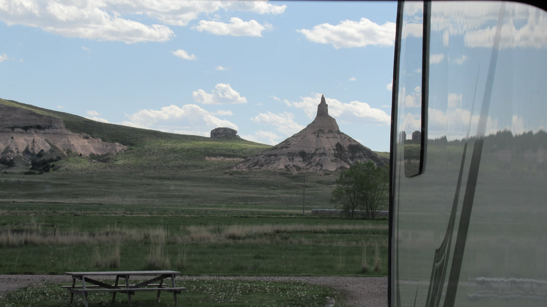
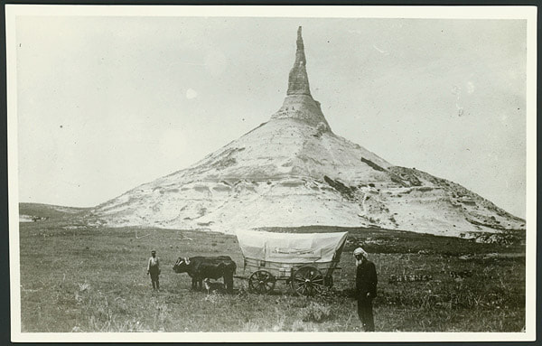
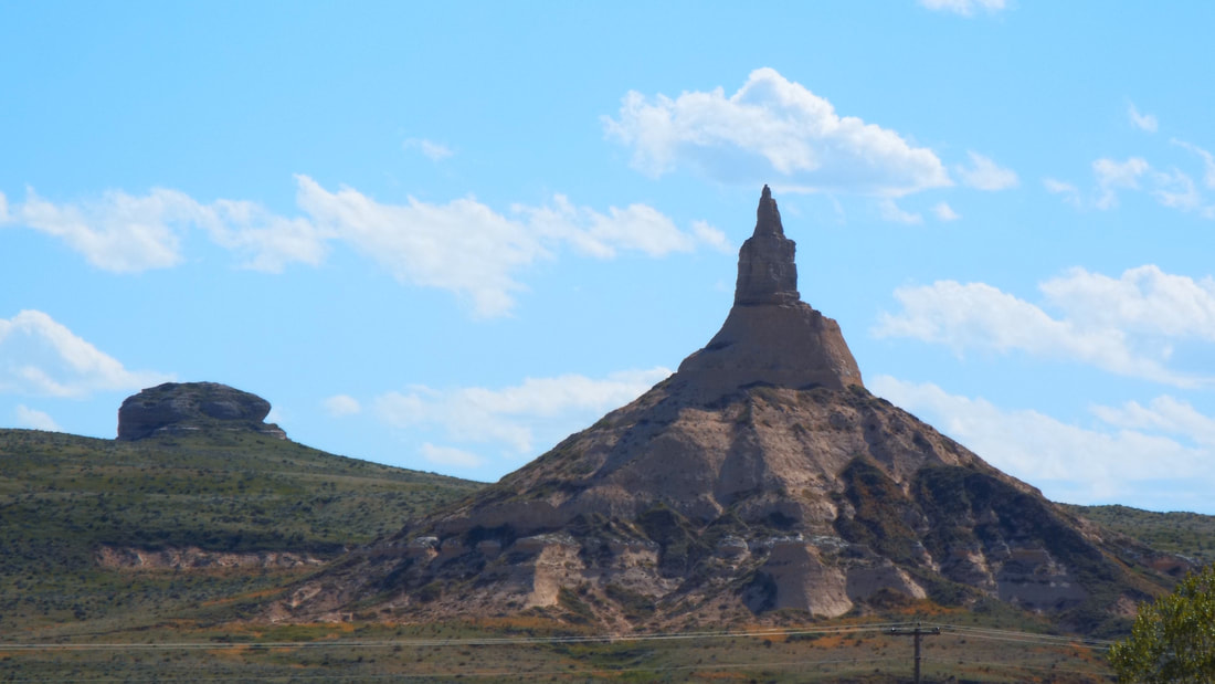
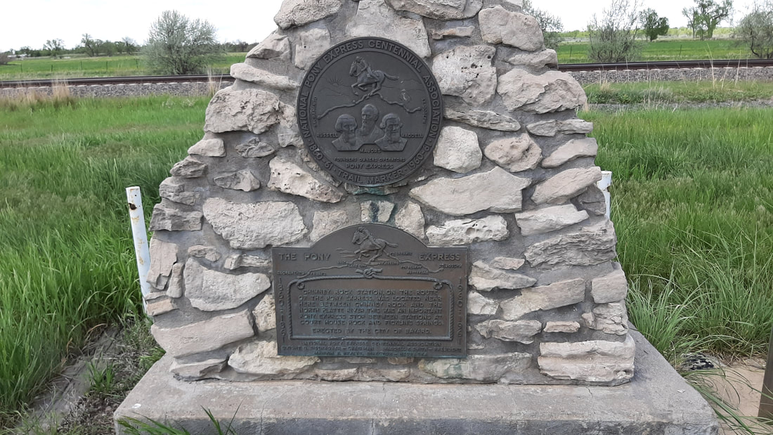
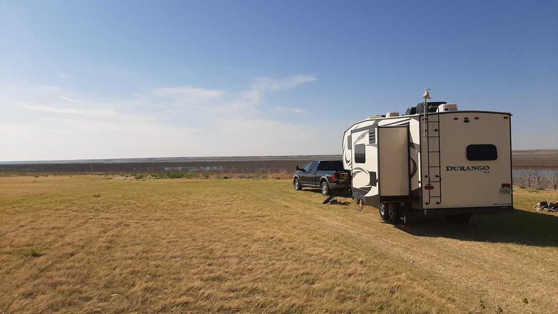
Shawna has a new camera and many of our pictures were taken by her. The bluff had many tiny flowers all over. Here are some of them. Our original plan was to stay at the free camping area at a town near Chimney Rock. Yes, a lot of small towns in the west have free RV camping and most include power and water. The idea is that if you stay in town you will spend more money than it cost to have you stay. We arrived and backed in then I checked the power and water. No power. No water. Shawna called the contact number posted for the town and they said the state rules related to the virus required they turn off those utilities but we could stay anyway?! Sometimes the rules don't make any sense. The backup plan was to go to the RV park directly north of the landmark. Yes, we really do have a plan, backup plan, emergency plan, and emergency backup plan. Our view from the dinner table is incredible. Warning the following could be considered a history lesson. Each April from 1841 to 1869 thousands of people gathered around Independence, Missouri where the train tracks ended. Next they purchased a sturdy wagon, oxen to pull it, along with food, clothes, and weapons. Unlike what most see in movies very few used mules and almost no one used horses to pull supply wagons. The plan was to gather about $30,000 of supplies (based on current value of money) to make the trip and hopefully arrive near the west coast before winter. Imagine starting a trip knowing that you would not arrive for several months. Now think about this, only toddlers and the elderly road in the wagons. Everyone else WALKED. Yes, they walked across part of Missouri and Kansas. and all of Nebraska, Wyoming, Idaho, and Oregon. Almost all of those who took the trip purchased "The Emigrant’s Guide" a book that gave details on how to prepare, the expected time it would take to make the trip, what supplies to take and what they should cost, and included maps with landmarks along the route. Remember this was a trail crossing almost the entire country with no markers other than ruts in the ground. It was actually common for people to get lost and take days refinding the trail. The Chimney Rock landmark was very important to those traveling west on the Oregon Trail. Chimney Rock was so distinctive that all who saw it knew they were on the right path and headed the right direction. I am sure a many a family was relieved to know they were not lost but on the right path. Travelers could look to the west from this point and see Scotts Bluff which was the 1/3 way point of the trail. It is estimated that as many as 500,000 people passed this way. It is hard to imagine how busy this area was during that time. It is guaranteed that there were some days more people slept in view of the landmark back then than they do today. In the last few years that the Oregon Trail was used, the Pony Express used the same route to deliver mail. The use of the Oregon Trail and Pony Express ended when the transcontinental railroad system was developed west of this location. End History lesson and begin Geology lesson. The hills and bluffs in this area are composed of layers of Brule clay, volcanic ash and Arikaree sandstone. Usually this type of clay mixture erodes to form relatively smooth sides in all directions. In a few cases the rain erodes faster on one side creating a bluff such as Scotts Bluff with sheer sides. Chimney Rock is the only location where the clay eroded to leave a center spire giving us the landmark. The earliest written records tell that the spire was much taller. It is estimated from that information that the center spire was about 120 feet tall during the western migration. Modern surveys show that the center spire has lost much of its height and is 325 feet from tip to base. The "Chimney" is struck by lightning every year and portions fall away. From one side it appears to be a sharp point but from others it still appears in a chimney shape. The only thing that is guaranteed is that the shape will change every year and that it will eventually no longer look like more than an inverted cone. Some day the name may be changed to a funnel as it is quickly taking that shape. End Geology lesson. At night the landmark is lighted by green spot lights. Of course I found that the old game Oregon Trail is available online to play for free.
https://archive.org/details/msdos_Oregon_Trail_The_1990 Fun but VERY dated. Our sunrise after a very windy night. The solar panel is out and charging the battery about as fast as we use power even when we charge the laptops and phones. We were able to watch youtube channels on our TV with the power of the sun.
|
AuthorWe are a couple who have started on a new adventure... Archives
February 2024
Categories |



 RSS Feed