|
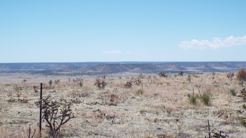
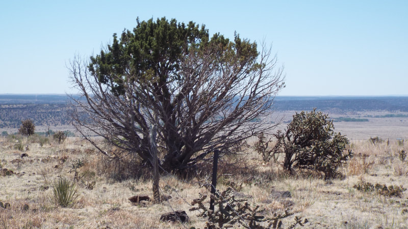
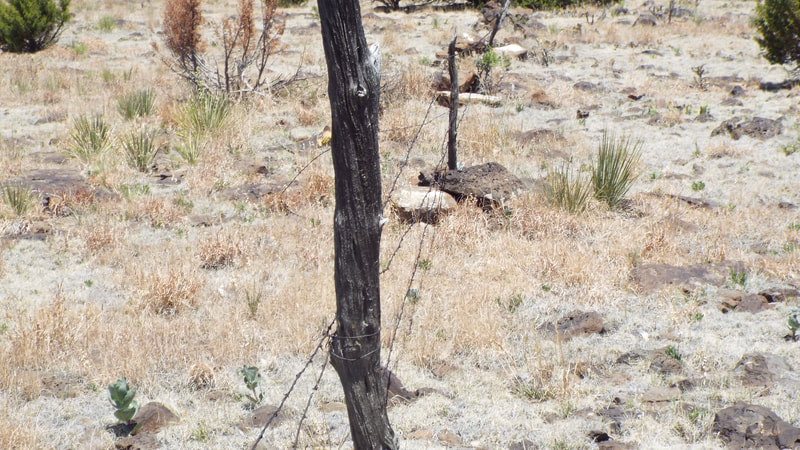
Today we hiked to the top of Black Mesa State Park which is the farthest point west in Oklahoma and includes the highest point in the state. Black Mesa gets its name from a layer of black lava rock covering the mesa. The trail is 8.5 miles round trip and took us up the side of the Mesa to the plateau on top. The highest point in Oklahoma is 4,973 feet above sea level. The hike up gave views of the mesa and the black lava boulders that were the size of a small car. The top of the mesa is flat and the winds were refreshing. The highest point is marked by a tall granite obelisk. The sides are marked North, South, East, and West. Carved in the each side was the distance to the next state. Colorado to the north 4.7 miles, Kansas to the ENE 53 miles, Texas to the south 31 miles, New Mexico to the West 1299 feet. Of course, seeing that the New Mexico state line was only 1200 feet to the west, we walked to the old fence that marked that line. After having lunch at the marker, we headed back to the trail head. We had both noticed small holes along the sides of the trail but not the animals that were making them. On the return hike we did. They are the Prairie Vole and feed on grasses, roots, seeds, bark and some insects. Predators include coyotes, hawks foxes and snakes. They remind me of guinea pigs and are about that size. We were hot and exhausted by the time we got back to the truck. It has been over a year since we had taken a real hike and maybe we should have picked a less difficult one to start back hiking.
Our trackers show we climbed the equivalent of 96 floors, Hiked 10.07 miles, and took 23,058 steps.
0 Comments
Leave a Reply. |
AuthorWe are a couple who have started on a new adventure... Archives
February 2024
Categories |


 RSS Feed